 Betteshanger
Lynton
Amesbury
Marlow
Burford
Chipping Norton
Marlborough
Cairnryan
Lydney
Betteshanger
Lynton
Amesbury
Marlow
Burford
Chipping Norton
Marlborough
Cairnryan
Lydney
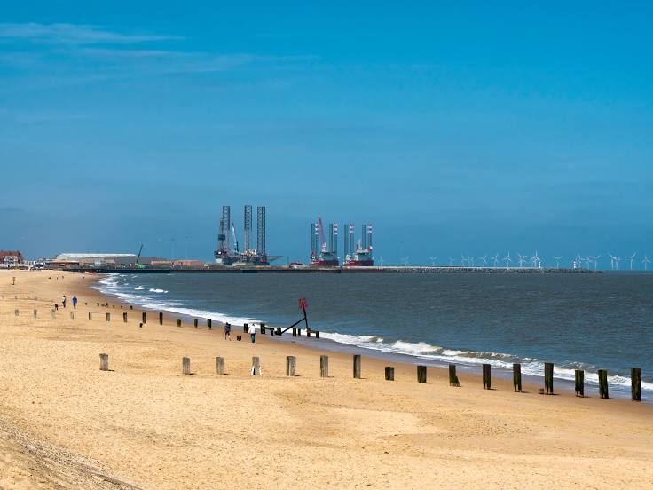
Gorleston-on-Sea (Beach) on the map, Great Yarmouth, United Kingdom
Photo
Where is located Gorleston-on-Sea (Beach)
Gorleston-on-Sea (Beach) — local attraction, which is located at no data and belongs to the category — -. Average visitor rating for this place — 4.7 (according to 2875 ratings, information from open sources and relevant for 2022).
Exact location — Gorleston-on-Sea (Beach), marked on the map with a red marker.
You can get directions to Gorleston-on-Sea (Beach) on the map from your location.
What else is interesting in Great Yarmouth? You can see all the sights if you go to the city page.
Coordinates
Gorleston-on-Sea (Beach), United Kingdom coordinates in decimal format: latitude — 52.57294764596814, longitude — 1.7208271328843763. When converted to degrees, minutes, seconds Gorleston-on-Sea (Beach) has the following coordinates: 52°34′22.61 north latitude and 1°43′14.98 east longitude.
Nearby cities
The largest cities that are located nearby:
- Norwich — 29 km
- Ipswich — 72 km
- Cambridge — 117 km
- Chelmsford — 129 km
- Southend-on-Sea — 136 km
- Basildon — 142 km
- Gillingham — 157 km
- Luton — 167 km
- Watford — 179 km
- Northampton — 182 km
- The Hague
 (Netherlands) — 184 km
 - Sutton — 191 km
- Leicester — 192 km
- Leiden (Netherlands) — 194 km
- Zoetermeer (Netherlands) — 197 km
- Haarlem (Netherlands) — 198 km
- Slough — 200 km
- Rotterdam (Netherlands) — 202 km
- Hoofddorp (Netherlands) — 203 km
Distance to the capital
Distance to the capital (London) is about — 173 km.