 Betteshanger
Lynton
Amesbury
Marlow
Burford
Chipping Norton
Marlborough
Cairnryan
Lydney
Betteshanger
Lynton
Amesbury
Marlow
Burford
Chipping Norton
Marlborough
Cairnryan
Lydney
St Salvators Chapel on the map, Saint Andrews, United Kingdom
Photo
Where is located St Salvators Chapel
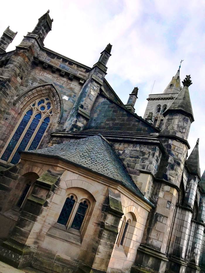
St Salvators Chapel — local attraction, which is located at St Salvator's Chapel University of, North St, St Andrews KY16 9AL, United Kingdom and belongs to the category — chapel. Average visitor rating for this place — 4.6 (according to 219 ratings, information from open sources and relevant for 2022).
Exact location — St Salvators Chapel, marked on the map with a red marker.
You can get directions to St Salvators Chapel on the map from your location.
What else is interesting in Saint Andrews? You can see all the sights if you go to the city page.
Coordinates
St Salvators Chapel, United Kingdom coordinates in decimal format: latitude — 56.3415090205878, longitude — -2.794387901521591. When converted to degrees, minutes, seconds St Salvators Chapel has the following coordinates: 56°20′29.43 north latitude and -2°47′39.8 east longitude.
Nearby cities
The largest cities that are located nearby:
- Edinburgh — 48 km
- Glasgow — 104 km
- Sunderland — 182 km
- Belfast — 277 km
- Preston — 284 km
- Blackburn — 287 km
- Huddersfield — 305 km
- Manchester — 318 km
- Liverpool — 324 km
- Rotherham — 335 km
- Sheffield — 338 km
- Stoke-on-Trent — 371 km
- Dublin
 (Ireland) — 401 km
 - Telford — 405 km
- Sutton Coldfield — 421 km
- Leicester — 424 km
- Dudley — 425 km
- West Bromwich — 426 km
- Birmingham — 430 km
Distance to the capital
Distance to the capital (London) is about — 565 km.