
 Pfarrwerfen
Rosenau am Hengstpaß
Grinzens
Sankt Martin am Wöllmißberg
Sankt Martin am Silberberg
Söding
Felixdorf
Oberpullendorf District
Fließ
Pfarrwerfen
Rosenau am Hengstpaß
Grinzens
Sankt Martin am Wöllmißberg
Sankt Martin am Silberberg
Söding
Felixdorf
Oberpullendorf District
Fließ
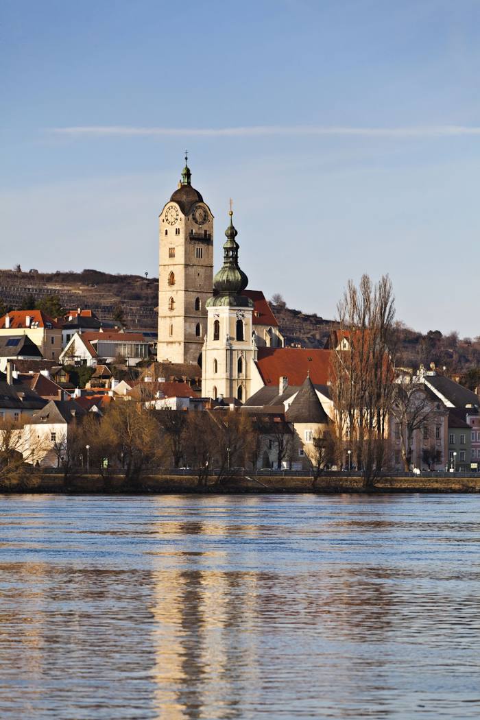
Krems an der Donau on the map, Krems an der Donau, Austria
Photo
Where is located Krems an der Donau
Krems an der Donau — local attraction, which is located at 203 m and belongs to the category — -. Average visitor rating for this place — 4.7 (according to 45 ratings, information from open sources and relevant for 2022).
Exact location — Krems an der Donau, marked on the map with a red marker.
You can get directions to Krems an der Donau on the map from your location.
What else is interesting in Krems an der Donau? You can see all the sights if you go to the city page.
Coordinates
Krems an der Donau, Austria coordinates in decimal format: latitude — 48.4003232693181, longitude — 15.637989061563452. When converted to degrees, minutes, seconds Krems an der Donau has the following coordinates: 48°24′1.16 north latitude and 15°38′16.76 east longitude.
Nearby cities
The largest cities that are located nearby:
- Linz — 98 km
- Brno
 (Czech Republic) — 113 km
 - Bratislava
 (Slovakia) — 115 km
 - Graz — 149 km
- Győr
 (Hungary) — 172 km
 - Olomouc (Czech Republic) — 176 km
- Salzburg — 201 km
- Prague (Czech Republic) — 202 km
- Pilsen (Czech Republic) — 217 km
- Ostrava (Czech Republic) — 246 km
- Székesfehérvár (Hungary) — 251 km
- Regensburg
 (Germany) — 263 km
 - Walbrzych
 (Poland) — 267 km
 - Ljubljana
 (Slovenia) — 273 km
 - Budapest (Hungary) — 276 km
- Rybnik (Poland) — 280 km
- Zagreb
 (Croatia) — 288 km
 - Bielsko-Biala (Poland) — 292 km
- Munich (Germany) — 298 km
Distance to the capital
Distance to the capital (Vienna) is about — 58 km.