
 Pfarrwerfen
Rosenau am Hengstpaß
Grinzens
Sankt Martin am Wöllmißberg
Sankt Martin am Silberberg
Söding
Felixdorf
Oberpullendorf District
Fließ
Pfarrwerfen
Rosenau am Hengstpaß
Grinzens
Sankt Martin am Wöllmißberg
Sankt Martin am Silberberg
Söding
Felixdorf
Oberpullendorf District
Fließ
Ferlacher Stausee on the map, Klagenfurt, Austria
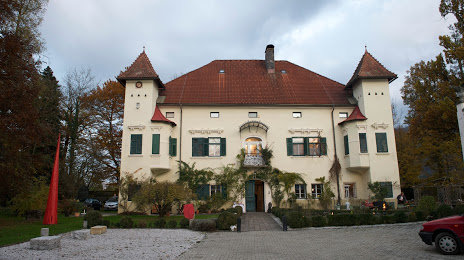
Photo
Where is located Ferlacher Stausee
Ferlacher Stausee — local attraction, which is located at 438 m and belongs to the category — -. Average visitor rating for this place — 4.6 (according to 91 rating, information from open sources and relevant for 2022).
Exact location — Ferlacher Stausee, marked on the map with a red marker.
You can get directions to Ferlacher Stausee on the map from your location.
What else is interesting in Klagenfurt? You can see all the sights if you go to the city page.
Coordinates
Ferlacher Stausee, Austria coordinates in decimal format: latitude — 46.6318101694582, longitude — 14.323733847847615. When converted to degrees, minutes, seconds Ferlacher Stausee has the following coordinates: 46°37′54.52 north latitude and 14°19′25.44 east longitude.
Nearby cities
The largest cities that are located nearby:
- Ljubljana
 (Slovenia) — 66 km
 - Graz — 98 km
- Trieste
 (Italy) — 117 km
 - Rijeka
 (Croatia) — 145 km
 - Zagreb (Croatia) — 157 km
- Salzburg — 160 km
- Linz — 185 km
- Venice (Italy) — 204 km
- Innsbruck — 229 km
- Vicenza (Italy) — 247 km
- Trento (Italy) — 253 km
- Munich
 (Germany) — 261 km
 - Bratislava
 (Slovakia) — 265 km
 - Győr
 (Hungary) — 274 km
 - Verona (Italy) — 290 km
- Ferrara (Italy) — 290 km
- Ravenna (Italy) — 296 km
- Banja Luka
 (Bosnia and Herzegovina) — 306 km
 - Pécs (Hungary) — 307 km
Distance to the capital
Distance to the capital (Vienna) is about — 234 km.