 Betteshanger
Lynton
Amesbury
Marlow
Burford
Chipping Norton
Marlborough
Cairnryan
Lydney
Betteshanger
Lynton
Amesbury
Marlow
Burford
Chipping Norton
Marlborough
Cairnryan
Lydney
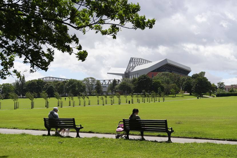
Stanley Park & Garden on the map, Liverpool, United Kingdom
Photo
Where is located Stanley Park & Garden
Stanley Park & Garden — local attraction, which is located at Walton Ln, Anfield, Liverpool L4 2SL, United Kingdom and belongs to the category — park. Average visitor rating for this place — 4.5 (according to 2109 ratings, information from open sources and relevant for 2022).
Exact location — Stanley Park & Garden, marked on the map with a red marker.
You can get directions to Stanley Park & Garden on the map from your location.
What else is interesting in Liverpool? You can see all the sights if you go to the city page.
Coordinates
Stanley Park & Garden, United Kingdom coordinates in decimal format: latitude — 53.39574149511447, longitude — -2.9390718602962007. When converted to degrees, minutes, seconds Stanley Park & Garden has the following coordinates: 53°23′44.67 north latitude and -2°56′20.66 east longitude.
Nearby cities
The largest cities that are located nearby:
- Preston — 44 km
- Manchester — 50 km
- Blackburn — 50 km
- Stoke-on-Trent — 70 km
- Huddersfield — 83 km
- Telford — 89 km
- Sheffield — 100 km
- Rotherham — 107 km
- Dudley — 116 km
- West Bromwich — 119 km
- Sutton Coldfield — 121 km
- Birmingham — 126 km
- Worcester — 144 km
- Coventry — 149 km
- Leicester — 151 km
- Cheltenham — 178 km
- Northampton — 192 km
- Sunderland — 195 km
- Dublin
 (Ireland) — 216 km
Distance to the capital
Distance to the capital (London) is about — 284 km.