
 Gilserberg
Berlin
Bordesholm
Bechtolsheim
Aub
Triptis
Heppenheim
Biblis
Angermünde
Gilserberg
Berlin
Bordesholm
Bechtolsheim
Aub
Triptis
Heppenheim
Biblis
Angermünde
KZ-Friedhof Dachau Leitenberg on the map, Dachau, Germany
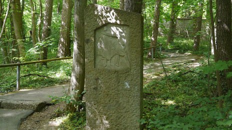
Photo
Where is located KZ-Friedhof Dachau Leitenberg
KZ-Friedhof Dachau Leitenberg — local attraction, which is located at 85221 Dachau, Germany and belongs to the category — cemetery. Average visitor rating for this place — 4.7 (according to 7 ratings, information from open sources and relevant for 2022).
Exact location — KZ-Friedhof Dachau Leitenberg, marked on the map with a red marker.
You can get directions to KZ-Friedhof Dachau Leitenberg on the map from your location.
What else is interesting in Dachau? You can see all the sights if you go to the city page.
Coordinates
KZ-Friedhof Dachau Leitenberg, Germany coordinates in decimal format: latitude — 48.27716547265003, longitude — 11.4450725596432. When converted to degrees, minutes, seconds KZ-Friedhof Dachau Leitenberg has the following coordinates: 48°16′37.8 north latitude and 11°26′42.26 east longitude.
Nearby cities
The largest cities that are located nearby:
- Munich — 18 km
- Augsburg — 41 km
- Ingolstadt — 56 km
- Regensburg — 96 km
- Ulm — 107 km
- Innsbruck
 (Austria) — 110 km
 - Salzburg (Austria) — 130 km
- Nuremberg — 134 km
- Fürth — 138 km
- Erlangen — 150 km
- Reutlingen — 166 km
- Stuttgart — 174 km
- Heilbronn — 188 km
- Würzburg — 199 km
- Linz (Austria) — 210 km
- Pforzheim — 211 km
- Pilsen
 (Czech Republic) — 214 km
 - Karlsruhe — 235 km
- Heidelberg — 235 km
Distance to the capital
Distance to the capital (Berlin) is about — 492 km.