
 Gilserberg
Berlin
Bordesholm
Bechtolsheim
Aub
Triptis
Heppenheim
Biblis
Angermünde
Gilserberg
Berlin
Bordesholm
Bechtolsheim
Aub
Triptis
Heppenheim
Biblis
Angermünde
Stadtmuseum on the map, Sulzbach-Rosenberg, Germany
Photo
Where is located Stadtmuseum
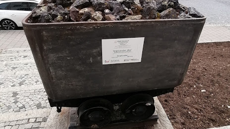
Stadtmuseum — local attraction, which is located at Neustadt 14-16, 92237 Sulzbach-Rosenberg, Germany and belongs to the category — museum. Average visitor rating for this place — 5.0 (according to 7 ratings, information from open sources and relevant for 2022).
Exact location — Stadtmuseum, marked on the map with a red marker.
You can get directions to Stadtmuseum on the map from your location.
What else is interesting in Sulzbach-Rosenberg? You can see all the sights if you go to the city page.
Coordinates
Stadtmuseum, Germany coordinates in decimal format: latitude — 49.505577039007434, longitude — 11.741267359686777. When converted to degrees, minutes, seconds Stadtmuseum has the following coordinates: 49°30′20.08 north latitude and 11°44′28.56 east longitude.
Nearby cities
The largest cities that are located nearby:
- Nuremberg — 49 km
- Erlangen — 54 km
- Fürth — 55 km
- Regensburg — 59 km
- Ingolstadt — 84 km
- Pilsen
 (Czech Republic) — 119 km
 - Würzburg — 133 km
- Augsburg — 140 km
- Munich — 151 km
- Gera — 155 km
- Chemnitz — 168 km
- Erfurt — 172 km
- Ulm — 178 km
- Heilbronn — 188 km
- Prague (Czech Republic) — 201 km
- Stuttgart — 204 km
- Leipzig — 208 km
- Salzburg
 (Austria) — 210 km
 - Reutlingen — 217 km
Distance to the capital
Distance to the capital (Berlin) is about — 355 km.