
 Ardena
Apiro
Cozzuolo
Amendolea
Grimaldi
Pignano
Case Nuove Russo
Palazzo
Lido di Rivoli
Ardena
Apiro
Cozzuolo
Amendolea
Grimaldi
Pignano
Case Nuove Russo
Palazzo
Lido di Rivoli
Swabian-Angevin Fortress on the map, Lucera, Italy
Photo
Where is located Swabian-Angevin Fortress
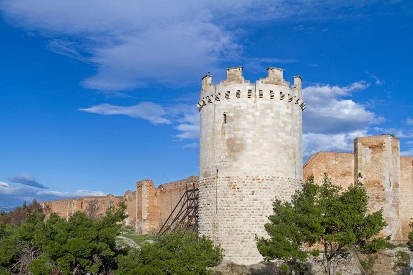
Swabian-Angevin Fortress — local attraction, which is located at Piazza Padre Angelo Cuomo, 71036 Lucera FG, Italy and belongs to the category — fortress. Average visitor rating for this place — 4.3 (according to 626 ratings, information from open sources and relevant for 2022).
Exact location — Swabian-Angevin Fortress, marked on the map with a red marker.
You can get directions to Swabian-Angevin Fortress on the map from your location.
What else is interesting in Lucera? You can see all the sights if you go to the city page.
Coordinates
Swabian-Angevin Fortress, Italy coordinates in decimal format: latitude — 41.50928502504462, longitude — 15.321794624978978. When converted to degrees, minutes, seconds Swabian-Angevin Fortress has the following coordinates: 41°30′33.43 north latitude and 15°19′18.46 east longitude.
Nearby cities
The largest cities that are located nearby:
- Foggia — 18 km
- Salerno — 103 km
- Giugliano in Campania — 114 km
- Naples — 115 km
- Bari — 135 km
- Pescara — 140 km
- Taranto — 198 km
- Latina — 202 km
- Split
 (Croatia) — 238 km
 - Terni — 249 km
- Ancona — 275 km
- Mostar
 (Bosnia and Herzegovina) — 284 km
 - Perugia — 297 km
- Podgorica
 (Montenegro) — 337 km
 - Durrës
 (Albania) — 342 km
 - Sarajevo (Bosnia and Herzegovina) — 357 km
- Rimini — 359 km
- Zenica (Bosnia and Herzegovina) — 361 km
- Messina — 367 km
Distance to the capital
Distance to the capital (Rome) is about — 239 km.