
 Gilserberg
Berlin
Bordesholm
Bechtolsheim
Aub
Triptis
Heppenheim
Biblis
Angermünde
Gilserberg
Berlin
Bordesholm
Bechtolsheim
Aub
Triptis
Heppenheim
Biblis
Angermünde
LVR-Archäologischer Park Xanten on the map, Xanten, Germany
Photo
Where is located LVR-Archäologischer Park Xanten
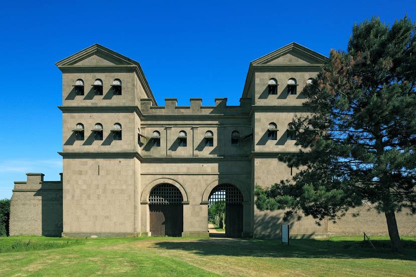
LVR-Archäologischer Park Xanten — local attraction, which is located at Am Rheintor, 46509 Xanten, Germany and belongs to the category — archaeological museum. Average visitor rating for this place — 4.5 (according to 1871 rating, information from open sources and relevant for 2022).
Exact location — LVR-Archäologischer Park Xanten, marked on the map with a red marker.
You can get directions to LVR-Archäologischer Park Xanten on the map from your location.
What else is interesting in Xanten? You can see all the sights if you go to the city page.
Coordinates
LVR-Archäologischer Park Xanten, Germany coordinates in decimal format: latitude — 51.6675289354201, longitude — 6.453345925325285. When converted to degrees, minutes, seconds LVR-Archäologischer Park Xanten has the following coordinates: 51°40′3.1 north latitude and 6°27′12.05 east longitude.
Nearby cities
The largest cities that are located nearby:
- Moers — 26 km
- Duisburg — 33 km
- Oberhausen — 34 km
- Krefeld — 36 km
- Bottrop — 37 km
- Mülheim — 40 km
- Essen — 45 km
- Nijmegen
 (Netherlands) — 45 km
 - Gelsenkirchen — 46 km
- Recklinghausen — 52 km
- Arnhem (Netherlands) — 52 km
- Düsseldorf — 53 km
- Mönchengladbach — 53 km
- Neuss — 53 km
- Herne — 53 km
- Bochum — 56 km
- Wuppertal — 66 km
- Witten — 67 km
- Ede (Netherlands) — 68 km
Distance to the capital
Distance to the capital (Berlin) is about — 484 km.