
 Cernusco sul Naviglio
Avellino
Fabbrico
Malo
Grisignano di Zocco
Finale Emilia
Carrara
Recanati
Impruneta
Orbassano
Brembate
Acri
Rose
Casalserugo
Marmirolo
Pianezza
Azeglio
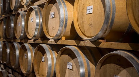
Canelli
Ozzano dell'Emilia
Cernusco sul Naviglio
Avellino
Fabbrico
Malo
Grisignano di Zocco
Finale Emilia
Carrara
Recanati
Impruneta
Orbassano
Brembate
Acri
Rose
Casalserugo
Marmirolo
Pianezza
Azeglio
Canelli
Ozzano dell'Emilia
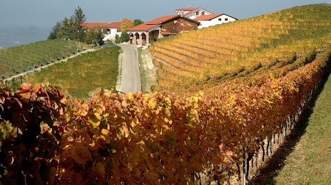
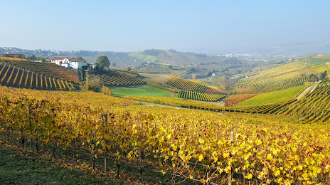
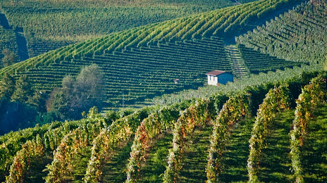
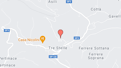
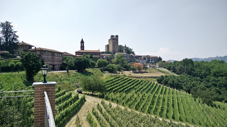
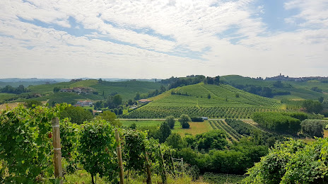
Alba on the map, Italy
Where is located Alba
Exact location — Alba, Cuneo, Piemonte, Italy, marked on the map with a red marker.
Coordinates
Alba, Italy coordinates in decimal format: latitude — 44.7009153, longitude — 8.0356911. When converted to degrees, minutes, seconds Alba has the following coordinates: 44°42′3.3 north latitude and 8°2′8.49 east longitude.
Population
Alba, Cuneo, Piemonte, Italy, according to our data the population is — 30,860 residents, which is about 0.1% of the total population of the country (Italy).
Comparison of the population on the graph:
Exact time
Time zone for this location Alba — UTC +2 Europe/Rome. Exact time — saturday, 7 july 2024 year, 16 h. 21 minute.
Sunrise and sunset
Alba, sunrise and sunset data for a date — saturday 20.07.2024.
| Sunrise | Sunset | Day (duration) |
|---|---|---|
| 06:05 +1 minute | 21:02 -1 minute | 15 h. 0 minutes. -2 minutes |
You can control the scale of the map using the auxiliary tools to find out exactly where it is located Alba. When you change the scale of the map, the width of the ruler also changes (in kilometers and miles).
Nearby cities
The largest cities that are located nearby:
- Turin — 49 km
- Genoa — 79 km
- Novara — 94 km
- Milan — 123 km
- Nice
 (France) — 126 km
 - Monza — 137 km
- Bergamo — 168 km
- Parma — 180 km
- Grenoble (France) — 188 km
- Brescia — 192 km
- Geneva
 (Switzerland) — 220 km
 - Livorno — 222 km
- Modena — 227 km
- Lausanne (Switzerland) — 228 km
- Verona — 243 km
- Toulon (France) — 244 km
- Aix-en-Provence (France) — 245 km
- Bern (Switzerland) — 252 km
- Prato — 261 km
Distance to neighboring capitals:
- Bern (Switzerland) — 254 km
- Vaduz
 (Liechtenstein) — 295 km
 - Ljubljana
 (Slovenia) — 527 km
 - Paris (France) — 633 km
- Paris (France) — 633 km
- Zagreb
 (Croatia) — 634 km
 - Vienna
 (Austria) — 748 km
 - Berlin
 (Germany) — 954 km
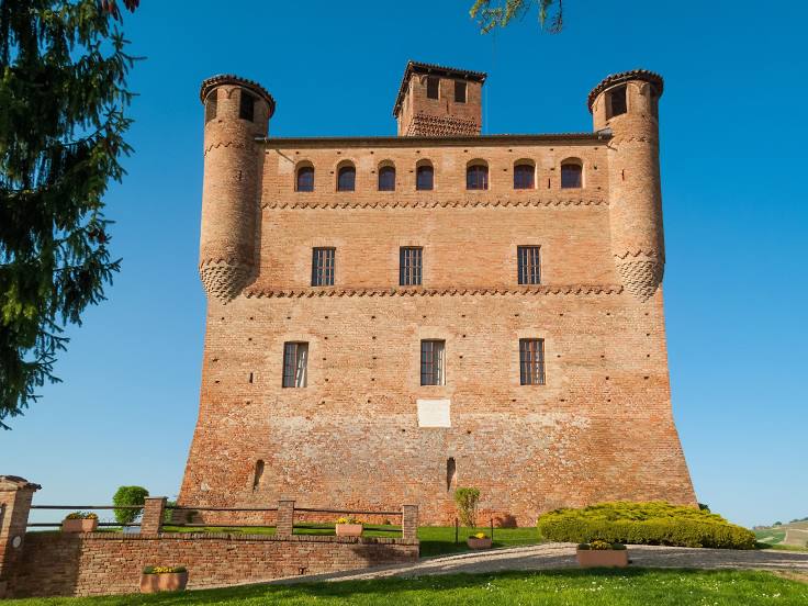
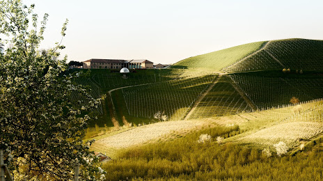
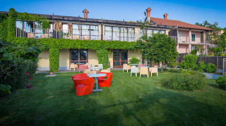
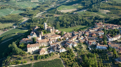
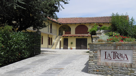
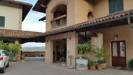
Attractions


Distance to the capital
Distance to the capital (Rome) is about — 477 km.