

Birla Mandir on the map, Hyderabad, India
Photo
Where is located Birla Mandir
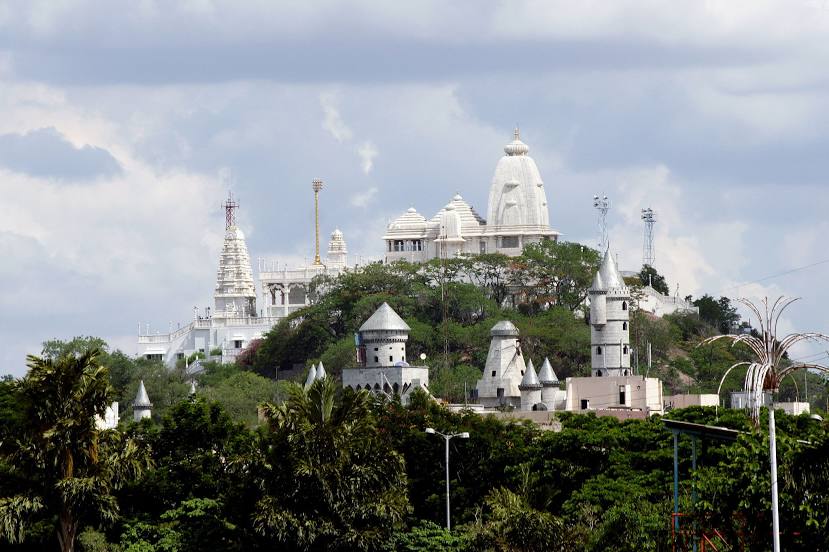
Birla Mandir — local attraction, which is located at Hill Fort Rd, Ambedkar Colony, Khairtabad, Hyderabad, Telangana 500004, India and belongs to the category — hindu temple. Average visitor rating for this place — 4.7 (according to 24641 rating, information from open sources and relevant for 2022).
Exact location — Birla Mandir, marked on the map with a red marker.
You can get directions to Birla Mandir on the map from your location.
What else is interesting in Hyderabad? You can see all the sights if you go to the city page.
Coordinates
Birla Mandir, India coordinates in decimal format: latitude — 17.406190619138044, longitude — 78.46899572442598. When converted to degrees, minutes, seconds Birla Mandir has the following coordinates: 17°24′22.29 north latitude and 78°28′8.38 east longitude.
Nearby cities
The largest cities that are located nearby:
- Secunderabad — 6 km
- Bidar — 118 km
- Vijayawada — 249 km
- Solapur — 274 km
- Eluru — 286 km
- Ballari — 299 km
- Machilipatnam — 311 km
- Rajahmundry — 353 km
- Nellore — 363 km
- Jalna — 383 km
- Akola — 398 km
- Kakinada — 400 km
- Sangli — 417 km
- Nagpur — 420 km
- Hubli — 422 km
- Tirupati — 427 km
- Aurangabad — 427 km
- Ahmednagar — 434 km
- Achalpur — 440 km
Distance to the capital
Distance to the capital (New Delhi) is about — 1253 km.