

Marble Rocks on the map, Jabalpur, India
Photo
Where is located Marble Rocks
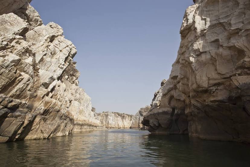
Marble Rocks — local attraction, which is located at Narmada River, India and belongs to the category — river port. Average visitor rating for this place — 4.7 (according to 1231 rating, information from open sources and relevant for 2022).
Exact location — Marble Rocks, marked on the map with a red marker.
You can get directions to Marble Rocks on the map from your location.
What else is interesting in Jabalpur? You can see all the sights if you go to the city page.
Coordinates
Marble Rocks, India coordinates in decimal format: latitude — 23.129885286029918, longitude — 79.79538962451917. When converted to degrees, minutes, seconds Marble Rocks has the following coordinates: 23°7′47.59 north latitude and 79°47′43.4 east longitude.
Nearby cities
The largest cities that are located nearby:
- Seoni — 126 km
- Chhindwara — 159 km
- Lalitpur — 227 km
- Nagpur — 240 km
- Bilaspur — 256 km
- Bhopal — 256 km
- Durg — 259 km
- Banda — 259 km
- Raipur — 275 km
- Jhansi — 287 km
- Korba — 302 km
- Guna — 310 km
- Allahabad — 315 km
- Fatehpur — 317 km
- Achalpur — 327 km
- Kanpur — 365 km
- Gwalior — 379 km
- Khandwa — 396 km
- Akola — 408 km
Distance to the capital
Distance to the capital (New Delhi) is about — 663 km.