

Himachal State Museum on the map, Shimla, India
Photo
Where is located Himachal State Museum
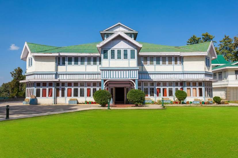
Himachal State Museum — local attraction, which is located at Museum Road, near Doordarshan Kendra, Chaura Maidan, Shimla, Himachal Pradesh 171004, India and belongs to the category — museum. Average visitor rating for this place — 4.4 (according to 947 ratings, information from open sources and relevant for 2022).
Exact location — Himachal State Museum, marked on the map with a red marker.
You can get directions to Himachal State Museum on the map from your location.
What else is interesting in Shimla? You can see all the sights if you go to the city page.
Coordinates
Himachal State Museum, India coordinates in decimal format: latitude — 31.103365942613102, longitude — 77.15074382468984. When converted to degrees, minutes, seconds Himachal State Museum has the following coordinates: 31°6′12.12 north latitude and 77°9′2.68 east longitude.
Nearby cities
The largest cities that are located nearby:
- Chandigarh — 56 km
- Ambala — 89 km
- Patiala — 113 km
- Ludhiana — 127 km
- Saharanpur — 131 km
- Phagwara — 133 km
- Jalandhar — 153 km
- Roorkee — 154 km
- Karnal — 158 km
- Haridwar — 159 km
- Barnala — 175 km
- Pathankot — 192 km
- Moga — 193 km
- Batala — 201 km
- Amritsar — 224 km
- Gorakhpur — 234 km
- Meerut — 240 km
- Rohtak — 251 km
- Hisar — 258 km
Distance to the capital
Distance to the capital (New Delhi) is about — 277 km.