

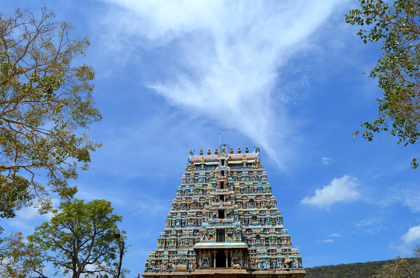
Arulmigu Kallalagar Temple, Allagar Temple on the map, Madurai, India
Photo
Where is located Arulmigu Kallalagar Temple, Allagar Temple
Arulmigu Kallalagar Temple, Allagar Temple — local attraction, which is located at 63 staff qtrs, Alagar Kovil Main Rd, Madurai, Tamil Nadu 618301, India and belongs to the category — hindu temple. Average visitor rating for this place — 4.7 (according to 11126 ratings, information from open sources and relevant for 2022).
Exact location — Arulmigu Kallalagar Temple, Allagar Temple, marked on the map with a red marker.
You can get directions to Arulmigu Kallalagar Temple, Allagar Temple on the map from your location.
What else is interesting in Madurai? You can see all the sights if you go to the city page.
Coordinates
Arulmigu Kallalagar Temple, Allagar Temple, India coordinates in decimal format: latitude — 9.993095122984393, longitude — 78.16153908491243. When converted to degrees, minutes, seconds Arulmigu Kallalagar Temple, Allagar Temple has the following coordinates: 9°59′35.14 north latitude and 78°9′41.54 east longitude.
Nearby cities
The largest cities that are located nearby:
- Tiruchirappalli — 115 km
- Tirunelveli — 140 km
- Thanjavur — 146 km
- Tiruppur — 156 km
- Erode — 162 km
- Coimbatore — 175 km
- Kumbakonam — 179 km
- Palakkad — 185 km
- Salem — 192 km
- Alappuzha — 200 km
- Kollam — 200 km
- Kochi — 202 km
- Thiruvananthapuram — 202 km
- Nagercoil — 208 km
- Jaffna
 (Sri Lanka) — 210 km
 - Thrissur — 218 km
- Cuddalore — 268 km
- Tiruvannamalai — 274 km
- Puducherry — 286 km
Distance to the capital
Distance to the capital (New Delhi) is about — 2074 km.