

Banashankari Temple Amargol on the map, Hubli, India
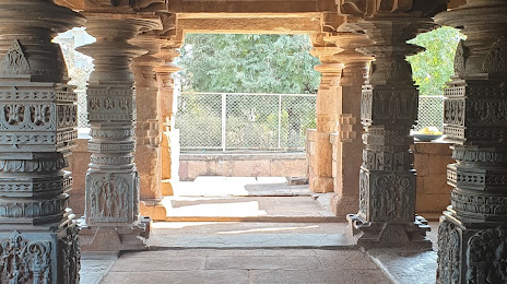
Photo
Where is located Banashankari Temple Amargol
Banashankari Temple Amargol — local attraction, which is located at Unnamed Road, 580025, Amargol, Hubli, Karnataka 580025, India and belongs to the category — hindu temple. Average visitor rating for this place — 4.6 (according to 94 ratings, information from open sources and relevant for 2022).
Exact location — Banashankari Temple Amargol, marked on the map with a red marker.
You can get directions to Banashankari Temple Amargol on the map from your location.
What else is interesting in Hubli? You can see all the sights if you go to the city page.
Coordinates
Banashankari Temple Amargol, India coordinates in decimal format: latitude — 15.399057642796265, longitude — 75.08728832439944. When converted to degrees, minutes, seconds Banashankari Temple Amargol has the following coordinates: 15°23′56.61 north latitude and 75°5′14.24 east longitude.
Nearby cities
The largest cities that are located nearby:
- Belgaum — 86 km
- Vasco da Gama — 136 km
- Mormugao — 141 km
- Kolhapur — 174 km
- Sangli — 174 km
- Ballari — 193 km
- Udupi — 228 km
- Solapur — 267 km
- Mangaluru — 272 km
- Hassan — 281 km
- Pune — 373 km
- Bidar — 379 km
- Kolar — 407 km
- Hosur — 412 km
- Ahmednagar — 414 km
- Hyderabad — 419 km
- Secunderabad — 423 km
- Kozhikode — 459 km
- Navi Mumbai — 461 km
Distance to the capital
Distance to the capital (New Delhi) is about — 1486 km.