
 Pronsfeld
Cologne
Jarplund-Weding
Schmalkalden
Niedernhausen
Kirchlengern
Alfdorf
Holsten
Pressen
Sprockhövel
Pinneberg
Bitz
Stetten am kalten Markt
Sendenhorst
Wesseling
Bellheim
Pfeffenhausen
Artern
Harting
Pronsfeld
Cologne
Jarplund-Weding
Schmalkalden
Niedernhausen
Kirchlengern
Alfdorf
Holsten
Pressen
Sprockhövel
Pinneberg
Bitz
Stetten am kalten Markt
Sendenhorst
Wesseling
Bellheim
Pfeffenhausen
Artern
Harting
Friedrichshafen on the map, Germany
Where is located Friedrichshafen
Exact location — Friedrichshafen, Tübingen, Baden-Württemberg, Germany, marked on the map with a red marker.
Coordinates
Friedrichshafen, Germany coordinates in decimal format: latitude — 47.6617648, longitude — 9.4800113. When converted to degrees, minutes, seconds Friedrichshafen has the following coordinates: 47°39′42.35 north latitude and 9°28′48.04 east longitude.
Population
Friedrichshafen, Tübingen, Baden-Württemberg, Germany, according to our data the population is — 58,005 residents, which is about 0.1% of the total population of the country (Germany).
Comparison of the population on the graph:
Exact time
Time zone for this location Friedrichshafen — UTC +2 Europe/Berlin. Exact time — wednesday, 7 july 2024 year, 02 h. 32 minutes.
Sunrise and sunset
Friedrichshafen, sunrise and sunset data for a date — wednesday 3.07.2024.
| Sunrise | Sunset | Day (duration) |
|---|---|---|
| 05:34 +1 minute | 21:18 -1 minute | 15 h. 42 minutes. -2 minutes |
You can control the scale of the map using the auxiliary tools to find out exactly where it is located Friedrichshafen. When you change the scale of the map, the width of the ruler also changes (in kilometers and miles).
Nearby cities
The largest cities that are located nearby:
- Zurich
 (Switzerland) — 78 km
 - Ulm — 90 km
- Reutlingen — 96 km
- Stuttgart — 125 km
- Freiburg — 127 km
- Augsburg — 130 km
- Basel (Switzerland) — 141 km
- Pforzheim — 148 km
- Innsbruck
 (Austria) — 151 km
 - Mulhouse
 (France) — 160 km
 - Strasbourg (France) — 162 km
- Munich — 164 km
- Heilbronn — 165 km
- Karlsruhe — 168 km
- Bern (Switzerland) — 173 km
- Ingolstadt — 187 km
- Heidelberg — 201 km
- Ludwigshafen — 214 km
- Mannheim — 215 km
Distance to neighboring capitals:
- Vaduz
 (Liechtenstein) — 58 km
 - Bern (Switzerland) — 173 km
- Ljubljana
 (Slovenia) — 422 km
 - Prague
 (Czech Republic) — 451 km
 - Brussels
 (Belgium) — 514 km
 - Vienna (Austria) — 517 km
- Paris (France) — 544 km
- Paris (France) — 544 km
- Amsterdam
 (Netherlands) — 617 km
 - Rome
 (Italy) — 683 km
 - Copenhagen
 (Denmark) — 916 km
 - Warsaw
 (Poland) — 968 km
 - Oslo
 (Norway) — 1365 km
 - Stockholm
 (Sweden) — 1408 km
 - Minsk
 (Belarus) — 1443 km
 - Kyiv
 (Ukraine) — 1559 km
 - Helsinki
 (Finland) — 1712 km
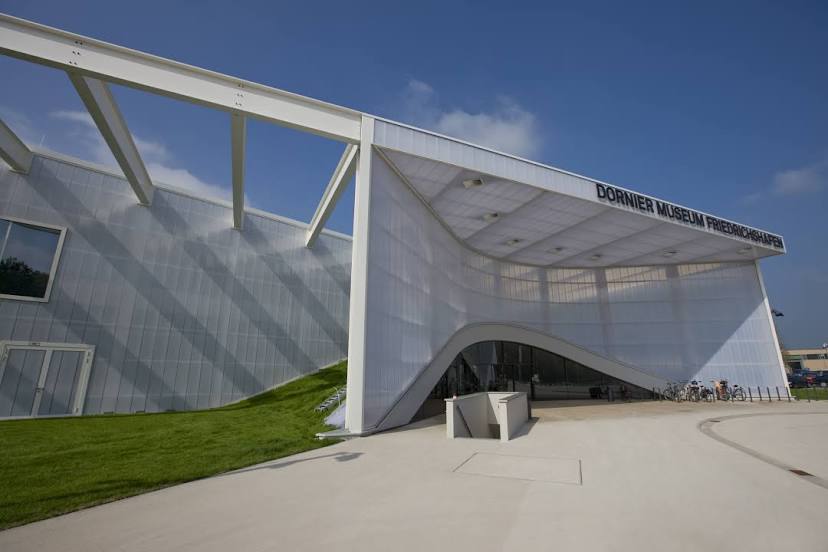
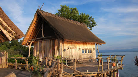
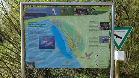
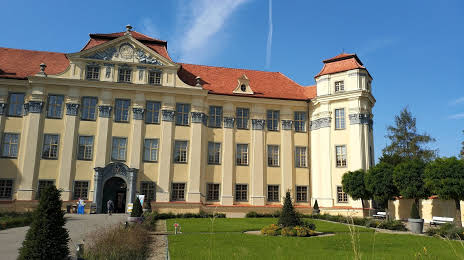
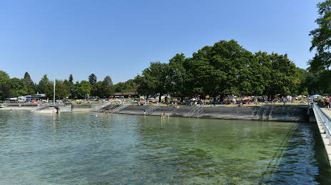
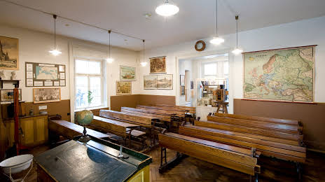
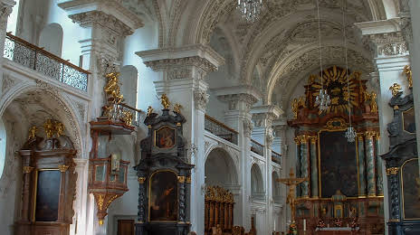
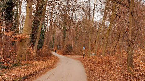
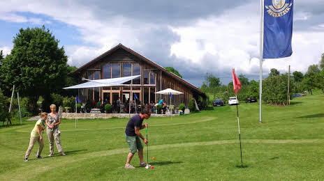
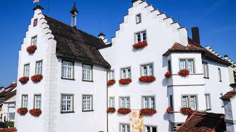
Attractions


Distance to the capital
Distance to the capital (Berlin) is about — 608 km.