

NohKaLikai Falls on the map, Shillong, India
Photo
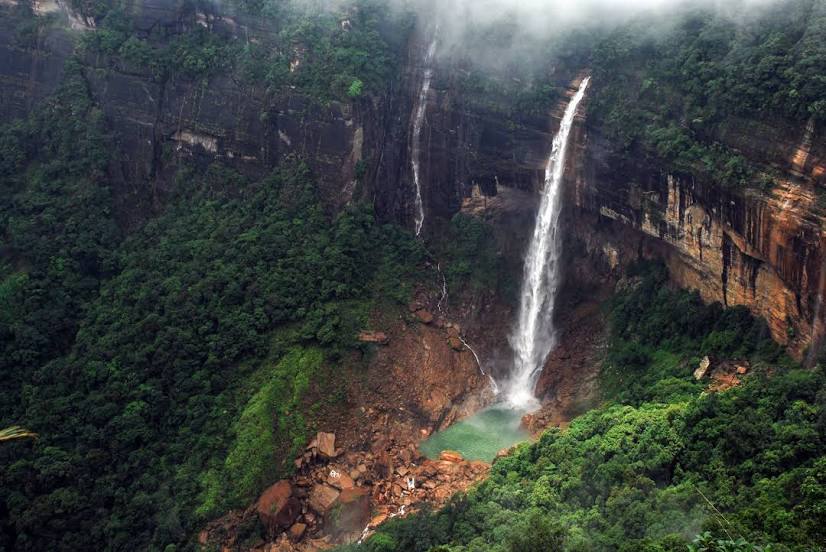
Where is located NohKaLikai Falls
NohKaLikai Falls — local attraction, which is located at 340 m and belongs to the category — -. Average visitor rating for this place — 4.7 (according to 1109 ratings, information from open sources and relevant for 2022).
Exact location — NohKaLikai Falls, marked on the map with a red marker.
You can get directions to NohKaLikai Falls on the map from your location.
What else is interesting in Shillong? You can see all the sights if you go to the city page.
Coordinates
NohKaLikai Falls, India coordinates in decimal format: latitude — 25.27542822613351, longitude — 91.68610337456053. When converted to degrees, minutes, seconds NohKaLikai Falls has the following coordinates: 25°16′31.54 north latitude and 91°41′9.97 east longitude.
Nearby cities
The largest cities that are located nearby:
- Guwahati — 64 km
- Sylhet
 (Bangladesh) — 75 km
 - Mymensingh (Bangladesh) — 176 km
- Dimapur — 186 km
- Bhairab Bazar (Bangladesh) — 193 km
- Agartala — 203 km
- Jamalpur (Bangladesh) — 208 km
- Narsingdi (Bangladesh) — 219 km
- Aizawl — 221 km
- Imphal — 222 km
- Comilla (Bangladesh) — 246 km
- Dhaka (Bangladesh) — 246 km
- Tangail (Bangladesh) — 248 km
- Narayanganj (Bangladesh) — 259 km
- Nagarpur (Bangladesh) — 264 km
- Bogra (Bangladesh) — 266 km
- Saidpur (Bangladesh) — 299 km
- Faridpur (Bangladesh) — 302 km
- Pabna (Bangladesh) — 321 km
Distance to the capital
Distance to the capital (New Delhi) is about — 1482 km.