

Dachigam National Park on the map, Srinagar, India
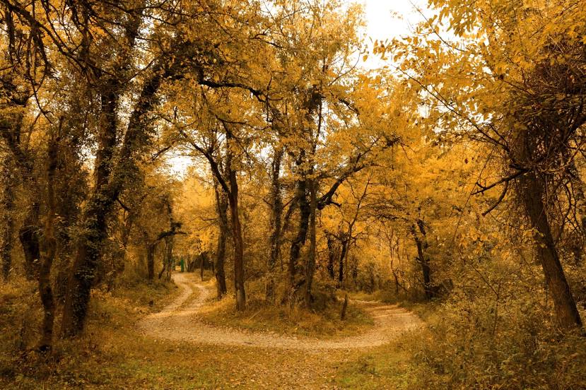
Photo
Where is located Dachigam National Park
Dachigam National Park — local attraction, which is located at Mughal Garden, Near Harwan, Dachigam Rd, Jammu and Kashmir 191202 and belongs to the category — national park. Average visitor rating for this place — 4.4 (according to 1762 ratings, information from open sources and relevant for 2022).
Exact location — Dachigam National Park, marked on the map with a red marker.
You can get directions to Dachigam National Park on the map from your location.
What else is interesting in Srinagar? You can see all the sights if you go to the city page.
Coordinates
Dachigam National Park, India coordinates in decimal format: latitude — 34.13714361959268, longitude — 75.03768562476671. When converted to degrees, minutes, seconds Dachigam National Park has the following coordinates: 34°8′13.72 north latitude and 75°2′15.67 east longitude.
Nearby cities
The largest cities that are located nearby:
- Kotli
 — 104 km
 - Abbottābad
 (Pakistan) — 144 km
 - Jammu — 150 km
- Jhelum (Pakistan) — 161 km
- Islamabad (Pakistan) — 162 km
- Rawalpindi (Pakistan) — 170 km
- Siālkot (Pakistan) — 178 km
- Wazirabad (Pakistan) — 193 km
- Wah (Pakistan) — 193 km
- Daska (Pakistan) — 197 km
- Mandi Bahauddin (Pakistan) — 205 km
- Pathankot — 216 km
- Chakwal (Pakistan) — 221 km
- Gujranwala (Pakistan) — 221 km
- Mingora (Pakistan) — 234 km
- Hafizabad (Pakistan) — 246 km
- Mardan (Pakistan) — 251 km
- Batala — 253 km
- Muridke (Pakistan) — 257 km
Distance to the capital
Distance to the capital (New Delhi) is about — 648 km.