

Central Sikh Museum on the map, Amritsar, India
Photo
Where is located Central Sikh Museum
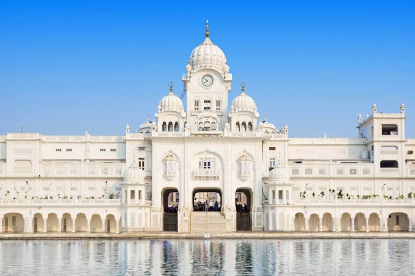
Central Sikh Museum — local attraction, which is located at Golden Temple Rd, Atta Mandi, Katra Ahluwalia, Amritsar Cantt., Punjab 143006, India and belongs to the category — heritage museum. Average visitor rating for this place — 4.7 (according to 244 ratings, information from open sources and relevant for 2022).
Exact location — Central Sikh Museum, marked on the map with a red marker.
You can get directions to Central Sikh Museum on the map from your location.
What else is interesting in Amritsar? You can see all the sights if you go to the city page.
Coordinates
Central Sikh Museum, India coordinates in decimal format: latitude — 31.620667869300792, longitude — 74.87703262470254. When converted to degrees, minutes, seconds Central Sikh Museum has the following coordinates: 31°37′14.4 north latitude and 74°52′37.32 east longitude.
Nearby cities
The largest cities that are located nearby:
- Batala — 37 km
- Lahore
 (Pakistan) — 49 km
 - Muridke (Pakistan) — 61 km
- Kasur (Pakistan) — 70 km
- Jalandhar — 75 km
- Sheikhupura (Pakistan) — 84 km
- Gujranwala (Pakistan) — 86 km
- Daska (Pakistan) — 91 km
- Moga — 95 km
- Phagwara — 96 km
- Siālkot (Pakistan) — 100 km
- Pathankot — 100 km
- Wazirabad (Pakistan) — 113 km
- Jammu — 121 km
- Hafizabad (Pakistan) — 121 km
- Ludhiana — 124 km
- Shahkot (Pakistan) — 131 km
- Jaranwala (Pakistan) — 141 km
- Barnala — 153 km
Distance to the capital
Distance to the capital (New Delhi) is about — 403 km.