

The Menri Monastery on the map, Solan, India
Photo
Where is located The Menri Monastery
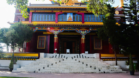
The Menri Monastery — local attraction, which is located at Dolanji, Ganyar, Himachal Pradesh 173223, India and belongs to the category — monastery. Average visitor rating for this place — 4.5 (according to 668 ratings, information from open sources and relevant for 2022).
Exact location — The Menri Monastery, marked on the map with a red marker.
You can get directions to The Menri Monastery on the map from your location.
What else is interesting in Solan? You can see all the sights if you go to the city page.
Coordinates
The Menri Monastery, India coordinates in decimal format: latitude — 30.845974931078047, longitude — 77.14914502468358. When converted to degrees, minutes, seconds The Menri Monastery has the following coordinates: 30°50′45.51 north latitude and 77°8′56.92 east longitude.
Nearby cities
The largest cities that are located nearby:
- Shimla — 23 km
- Chandigarh — 36 km
- Ambala — 66 km
- Patiala — 93 km
- Saharanpur — 112 km
- Ludhiana — 118 km
- Phagwara — 130 km
- Karnal — 135 km
- Roorkee — 139 km
- Haridwar — 147 km
- Jalandhar — 151 km
- Barnala — 159 km
- Moga — 183 km
- Pathankot — 203 km
- Batala — 204 km
- Gorakhpur — 212 km
- Meerut — 220 km
- Amritsar — 224 km
- Rohtak — 228 km
Distance to the capital
Distance to the capital (New Delhi) is about — 248 km.