

KMP on the map, Durgapur, India
Photo
Where is located KMP
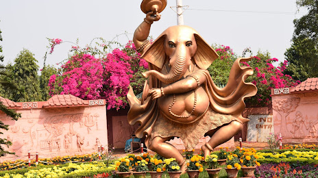
KMP — local attraction, which is located at 130, Sarat Chandra Ave, B-Zone, Durgapur, West Bengal 713205, India and belongs to the category — park. Average visitor rating for this place — 4.1 (according to 4294 ratings, information from open sources and relevant for 2022).
Exact location — KMP, marked on the map with a red marker.
You can get directions to KMP on the map from your location.
What else is interesting in Durgapur? You can see all the sights if you go to the city page.
Coordinates
KMP, India coordinates in decimal format: latitude — 23.559801729367265, longitude — 87.30160852452718. When converted to degrees, minutes, seconds KMP has the following coordinates: 23°33′35.29 north latitude and 87°18′5.79 east longitude.
Nearby cities
The largest cities that are located nearby:
- Asansol — 37 km
- Medinipur — 121 km
- Jamshedpur — 138 km
- Kolkata — 150 km
- Rajshahi
 (Bangladesh) — 162 km
 - Haldia — 179 km
- Kushtia (Bangladesh) — 187 km
- Jessore (Bangladesh) — 194 km
- Pabna (Bangladesh) — 200 km
- Ranchi — 204 km
- Jamalpur — 214 km
- Munger — 222 km
- Khulna (Bangladesh) — 241 km
- Bogra (Bangladesh) — 253 km
- Faridpur (Bangladesh) — 256 km
- Nagarpur (Bangladesh) — 266 km
- Dinajpur (Bangladesh) — 268 km
- Tangail (Bangladesh) — 274 km
- Saidpur (Bangladesh) — 296 km
Distance to the capital
Distance to the capital (New Delhi) is about — 1154 km.