

Mandvi Beach on the map, Mandvi, India
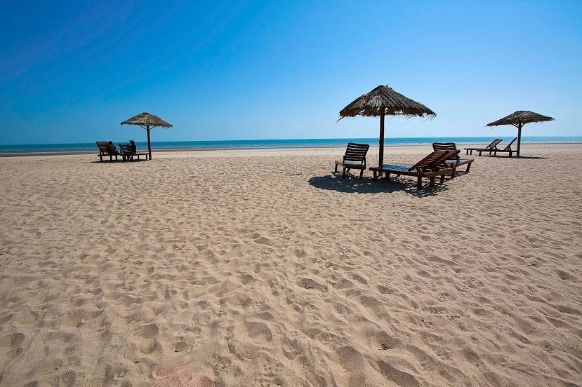
Photo
Where is located Mandvi Beach
Mandvi Beach — local attraction, which is located at no data and belongs to the category — -. Average visitor rating for this place — 4.5 (according to 2277 ratings, information from open sources and relevant for 2022).
Exact location — Mandvi Beach, marked on the map with a red marker.
You can get directions to Mandvi Beach on the map from your location.
What else is interesting in Mandvi? You can see all the sights if you go to the city page.
Coordinates
Mandvi Beach, India coordinates in decimal format: latitude — 22.831396117057892, longitude — 69.35550495712077. When converted to degrees, minutes, seconds Mandvi Beach has the following coordinates: 22°49′53.03 north latitude and 69°21′19.82 east longitude.
Nearby cities
The largest cities that are located nearby:
- Bhuj — 55 km
- Jamnagar — 82 km
- Gandhidham — 83 km
- Rajkot — 159 km
- Gondal — 176 km
- Junagadh — 184 km
- Tando Allahyar
 (Pakistan) — 297 km
 - Hyderabad (Pakistan) — 298 km
- Mīrpur Khās (Pakistan) — 300 km
- Bhavnagar — 311 km
- Karachi (Pakistan) — 325 km
- Ahmedabad — 328 km
- Tando Ādam (Pakistan) — 332 km
- Gandhinagar — 336 km
- Anand — 368 km
- Nawabshah (Pakistan) — 389 km
- Bharuch — 394 km
- Vadodara — 396 km
- Surat — 403 km
Distance to the capital
Distance to the capital (New Delhi) is about — 1016 km.