

Mata Bala Sundari Temple, Trilokpur on the map, Nahan, India
Photo
Where is located Mata Bala Sundari Temple, Trilokpur
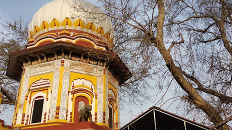
Mata Bala Sundari Temple, Trilokpur — local attraction, which is located at Trilokpur, Himachal Pradesh 173030, India and belongs to the category — hindu temple. Average visitor rating for this place — 4.8 (according to 3834 ratings, information from open sources and relevant for 2022).
Exact location — Mata Bala Sundari Temple, Trilokpur, marked on the map with a red marker.
You can get directions to Mata Bala Sundari Temple, Trilokpur on the map from your location.
What else is interesting in Nahan? You can see all the sights if you go to the city page.
Coordinates
Mata Bala Sundari Temple, Trilokpur, India coordinates in decimal format: latitude — 30.54034829972948, longitude — 77.2082555246763. When converted to degrees, minutes, seconds Mata Bala Sundari Temple, Trilokpur has the following coordinates: 30°32′25.25 north latitude and 77°12′29.72 east longitude.
Nearby cities
The largest cities that are located nearby:
- Chandigarh — 53 km
- Ambala — 53 km
- Shimla — 61 km
- Saharanpur — 70 km
- Patiala — 91 km
- Roorkee — 97 km
- Karnal — 101 km
- Haridwar — 107 km
- Ludhiana — 142 km
- Phagwara — 162 km
- Barnala — 168 km
- Meerut — 179 km
- Jalandhar — 183 km
- Rohtak — 197 km
- Gorakhpur — 199 km
- Moga — 204 km
- Delhi — 204 km
- Delhi — 206 km
- Ghaziabad — 210 km
Distance to the capital
Distance to the capital (New Delhi) is about — 214 km.