

Mahabat Maqbara Palace on the map, Junagadh, India
Photo
Where is located Mahabat Maqbara Palace
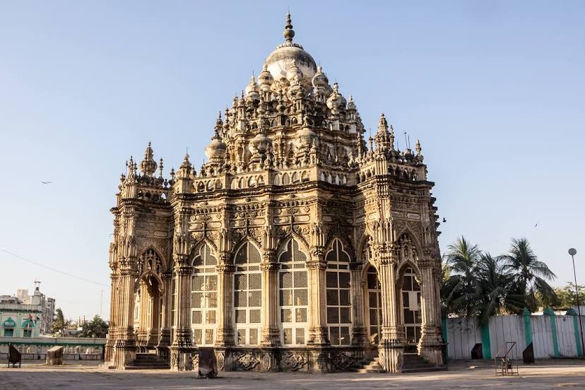
Mahabat Maqbara Palace — local attraction, which is located at Mullawada, Junagadh, Gujarat 362001, India and belongs to the category — historical landmark. Average visitor rating for this place — 4.4 (according to 2645 ratings, information from open sources and relevant for 2022).
Exact location — Mahabat Maqbara Palace, marked on the map with a red marker.
You can get directions to Mahabat Maqbara Palace on the map from your location.
What else is interesting in Junagadh? You can see all the sights if you go to the city page.
Coordinates
Mahabat Maqbara Palace, India coordinates in decimal format: latitude — 21.527152873789976, longitude — 70.46009862449057. When converted to degrees, minutes, seconds Mahabat Maqbara Palace has the following coordinates: 21°31′37.75 north latitude and 70°27′36.36 east longitude.
Nearby cities
The largest cities that are located nearby:
- Gondal — 59 km
- Rajkot — 93 km
- Jamnagar — 113 km
- Gandhidham — 175 km
- Bhavnagar — 176 km
- Bhuj — 206 km
- Surat — 248 km
- Bharuch — 261 km
- Ahmedabad — 272 km
- Anand — 279 km
- Gandhinagar — 290 km
- Vadodara — 292 km
- Virar — 333 km
- Thane — 366 km
- Mumbai — 370 km
- Ulhasnagar — 380 km
- Navi Mumbai — 385 km
- Nashik — 385 km
- Mīrpur Khās
 (Pakistan) — 466 km
Distance to the capital
Distance to the capital (New Delhi) is about — 1040 km.