

Shri Periya Nayaki Amman Temple on the map, Palani, India
Photo
Where is located Shri Periya Nayaki Amman Temple
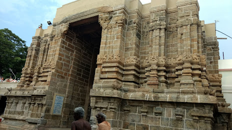
Shri Periya Nayaki Amman Temple — local attraction, which is located at Karamadai, Palani, Tamil Nadu 624601, India and belongs to the category — hindu temple. Average visitor rating for this place — 4.7 (according to 560 ratings, information from open sources and relevant for 2022).
Exact location — Shri Periya Nayaki Amman Temple, marked on the map with a red marker.
You can get directions to Shri Periya Nayaki Amman Temple on the map from your location.
What else is interesting in Palani? You can see all the sights if you go to the city page.
Coordinates
Shri Periya Nayaki Amman Temple, India coordinates in decimal format: latitude — 10.456417614551727, longitude — 77.50682762434741. When converted to degrees, minutes, seconds Shri Periya Nayaki Amman Temple has the following coordinates: 10°27′23.1 north latitude and 77°30′24.58 east longitude.
Nearby cities
The largest cities that are located nearby:
- Tiruppur — 75 km
- Madurai — 87 km
- Coimbatore — 88 km
- Erode — 99 km
- Palakkad — 101 km
- Tiruchirappalli — 134 km
- Thrissur — 142 km
- Kochi — 148 km
- Salem — 150 km
- Alappuzha — 166 km
- Thanjavur — 180 km
- Tirunelveli — 194 km
- Kollam — 198 km
- Kozhikode — 209 km
- Kumbakonam — 210 km
- Thiruvananthapuram — 222 km
- Nagercoil — 251 km
- Hosur — 253 km
- Tiruvannamalai — 258 km
Distance to the capital
Distance to the capital (New Delhi) is about — 2020 km.