

Balaji Temple on the map, Nagaur, India
Photo
Where is located Balaji Temple
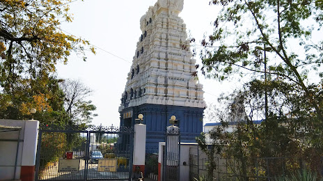
Balaji Temple — local attraction, which is located at Seminary Hills Rd, Seminary Hills, Nagpur, Maharashtra 440006, India and belongs to the category — hindu temple. Average visitor rating for this place — 4.6 (according to 1345 ratings, information from open sources and relevant for 2022).
Exact location — Balaji Temple, marked on the map with a red marker.
You can get directions to Balaji Temple on the map from your location.
What else is interesting in Nagaur? You can see all the sights if you go to the city page.
Coordinates
Balaji Temple, India coordinates in decimal format: latitude — 27.166643259453007, longitude — 73.72978564685481. When converted to degrees, minutes, seconds Balaji Temple has the following coordinates: 27°9′59.92 north latitude and 73°43′47.23 east longitude.
Nearby cities
The largest cities that are located nearby:
- Bikaner — 99 km
- Ajmer — 122 km
- Jodhpur — 128 km
- Kishangarh — 129 km
- Pali — 163 km
- Jaipur — 204 km
- Bhilwara — 224 km
- Sirsa — 286 km
- Alwar — 286 km
- Hisar — 288 km
- Udaipur — 290 km
- Chishtian Mandi
 (Pakistan) — 299 km
 - Rewari — 301 km
- Kota — 305 km
- Gorakhpur — 310 km
- Bahawalnagar (Pakistan) — 313 km
- Bahawalpur (Pakistan) — 313 km
- Rohtak — 332 km
- Khanpur (Pakistan) — 340 km
Distance to the capital
Distance to the capital (New Delhi) is about — 378 km.