

Cyclopean Wall on the map, Rajgir, India
Photo
Where is located Cyclopean Wall
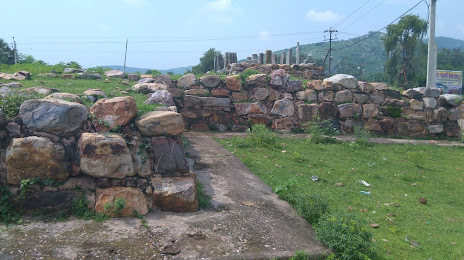
Cyclopean Wall — local attraction, which is located at NH82, Nimal, Rajgir, Bihar 803116, India and belongs to the category — history museum. Average visitor rating for this place — 3.9 (according to 55 ratings, information from open sources and relevant for 2022).
Exact location — Cyclopean Wall, marked on the map with a red marker.
You can get directions to Cyclopean Wall on the map from your location.
What else is interesting in Rajgir? You can see all the sights if you go to the city page.
Coordinates
Cyclopean Wall, India coordinates in decimal format: latitude — 25.000476626476704, longitude — 85.42207525978588. When converted to degrees, minutes, seconds Cyclopean Wall has the following coordinates: 25°0′1.72 north latitude and 85°25′19.47 east longitude.
Nearby cities
The largest cities that are located nearby:
- Chhapra — 107 km
- Munger — 112 km
- Jamalpur — 112 km
- Ranchi — 185 km
- Ghazipur — 192 km
- Asansol — 217 km
- Durgapur — 254 km
- Jamshedpur — 257 km
- Gorakhpur — 279 km
- Patan
 (Nepal) — 293 km
 - Kathmandu (Nepal) — 297 km
- Dinajpur
 (Bangladesh) — 329 km
 - Basti — 329 km
- Rajshahi (Bangladesh) — 331 km
- Medinipur — 346 km
- Saidpur (Bangladesh) — 357 km
- Allahabad — 359 km
- Jalpaiguri — 368 km
- Faizabad — 376 km
Distance to the capital
Distance to the capital (New Delhi) is about — 909 km.