
 Portici
Torreglia
Mariano Comense
Giussano
Cermenate
Rieti
Barletta
Casella
Vigliano D'asti
San Maurizio D'opaglio
Riesi
Ferriere
Ivrea
Fiume Veneto
Carbonia
Casalmoro
Gravellona Toce
Modugno
Castel
Portici
Torreglia
Mariano Comense
Giussano
Cermenate
Rieti
Barletta
Casella
Vigliano D'asti
San Maurizio D'opaglio
Riesi
Ferriere
Ivrea
Fiume Veneto
Carbonia
Casalmoro
Gravellona Toce
Modugno
Castel
Porto San Giorgio on the map, Italy
Where is located Porto San Giorgio
Exact location — Porto San Giorgio, Fermo, Marche, Italy, marked on the map with a red marker.
Coordinates
Porto San Giorgio, Italy coordinates in decimal format: latitude — 43.1801759, longitude — 13.7929636. When converted to degrees, minutes, seconds Porto San Giorgio has the following coordinates: 43°10′48.63 north latitude and 13°47′34.67 east longitude.
Population
Porto San Giorgio, Fermo, Marche, Italy, according to our data the population is — 16,010 residents, which is about 0% of the total population of the country (Italy).
Comparison of the population on the graph:
Exact time
Time zone for this location Porto San Giorgio — UTC +2 Europe/Rome. Exact time — sunday, 6 june 2024 year, 19 h. 09 minutes.
Sunrise and sunset
Porto San Giorgio, sunrise and sunset data for a date — sunday 2.06.2024.
| Sunrise | Sunset | Day (duration) |
|---|---|---|
| 05:30 -1 minute | 20:35 +1 minute | 15 h. 6 minutes. +2 minutes |
You can control the scale of the map using the auxiliary tools to find out exactly where it is located Porto San Giorgio. When you change the scale of the map, the width of the ruler also changes (in kilometers and miles).
Nearby cities
The largest cities that are located nearby:
- Ancona — 53 km
- Pescara — 87 km
- Perugia — 113 km
- Terni — 116 km
- Rimini — 138 km
- Forli — 180 km
- Ravenna — 186 km
- Latina — 203 km
- Florence — 213 km
- Split
 (Croatia) — 215 km
 - Prato — 228 km
- Foggia — 239 km
- Bologna — 242 km
- Rijeka (Croatia) — 243 km
- Ferrara — 250 km
- Giugliano in Campania — 251 km
- Naples — 260 km
- Trieste — 273 km
- Venice — 275 km
Distance to neighboring capitals:
- Ljubljana
 (Slovenia) — 325 km
 - Zagreb (Croatia) — 341 km
- Vaduz
 (Liechtenstein) — 553 km
 - Vienna
 (Austria) — 594 km
 - Bern
 (Switzerland) — 651 km
 - Berlin
 (Germany) — 1039 km
 - Paris
 (France) — 1084 km
 - Paris (France) — 1084 km
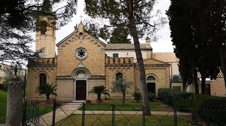
Attractions


Distance to the capital
Distance to the capital (Rome) is about — 177 km.