 Betteshanger
Lynton
Amesbury
Marlow
Burford
Chipping Norton
Marlborough
Cairnryan
Lydney
Betteshanger
Lynton
Amesbury
Marlow
Burford
Chipping Norton
Marlborough
Cairnryan
Lydney
National Trust - Buckland Abbey on the map, Plymouth, United Kingdom
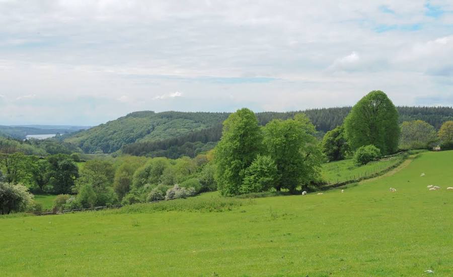
Photo
Where is located National Trust - Buckland Abbey
National Trust - Buckland Abbey — local attraction, which is located at Yelverton PL20 6EY, United Kingdom and belongs to the category — $$. Average visitor rating for this place — 4.6 (according to 1111 ratings, information from open sources and relevant for 2022).
Exact location — National Trust - Buckland Abbey, marked on the map with a red marker.
You can get directions to National Trust - Buckland Abbey on the map from your location.
What else is interesting in Plymouth? You can see all the sights if you go to the city page.
Coordinates
National Trust - Buckland Abbey, United Kingdom coordinates in decimal format: latitude — 50.48316137212486, longitude — -4.131033093388308. When converted to degrees, minutes, seconds National Trust - Buckland Abbey has the following coordinates: 50°28′59.38 north latitude and -4°7′51.72 east longitude.
Nearby cities
The largest cities that are located nearby:
- Exeter — 57 km
- Bristol — 160 km
- Bournemouth — 163 km
- Southampton — 200 km
- Swindon — 208 km
- Portsmouth — 219 km
- Cheltenham — 220 km
- Brest
 (France) — 221 km
 - Worcester — 240 km
- Reading — 249 km
- Oxford — 249 km
- Dudley — 274 km
- Slough — 274 km
- West Bromwich — 277 km
- Birmingham — 278 km
- Telford — 279 km
- Coventry — 286 km
- Crawley — 286 km
- Sutton Coldfield — 288 km
Distance to the capital
Distance to the capital (London) is about — 302 km.