 Betteshanger
Lynton
Amesbury
Marlow
Burford
Chipping Norton
Marlborough
Cairnryan
Lydney
Betteshanger
Lynton
Amesbury
Marlow
Burford
Chipping Norton
Marlborough
Cairnryan
Lydney
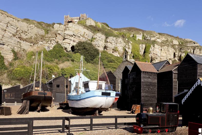
Rock-A-Nore Beach on the map, Hastings, United Kingdom
Photo
Where is located Rock-A-Nore Beach
Rock-A-Nore Beach — local attraction, which is located at no data and belongs to the category — -. Average visitor rating for this place — 4.6 (according to 619 ratings, information from open sources and relevant for 2022).
Exact location — Rock-A-Nore Beach, marked on the map with a red marker.
You can get directions to Rock-A-Nore Beach on the map from your location.
What else is interesting in Hastings? You can see all the sights if you go to the city page.
Coordinates
Rock-A-Nore Beach, United Kingdom coordinates in decimal format: latitude — 50.85539280150504, longitude — 0.5971180752955314. When converted to degrees, minutes, seconds Rock-A-Nore Beach has the following coordinates: 50°51′19.41 north latitude and 0°35′49.63 east longitude.
Nearby cities
The largest cities that are located nearby:
- Eastbourne — 22 km
- Gillingham — 59 km
- Crawley — 60 km
- Southend-on-Sea — 77 km
- Sutton — 77 km
- Basildon — 80 km
- Chelmsford — 98 km
- Slough — 108 km
- Watford — 111 km
- Portsmouth — 116 km
- Reading — 126 km
- Luton — 132 km
- Southampton — 138 km
- Ipswich — 139 km
- Cambridge — 152 km
- Le Havre
 (France) — 154 km
 - Oxford — 160 km
- Rouen (France) — 161 km
- Amiens (France) — 162 km
Distance to the capital
Distance to the capital (London) is about — 88 km.