 Betteshanger
Lynton
Amesbury
Marlow
Burford
Chipping Norton
Marlborough
Cairnryan
Lydney
Betteshanger
Lynton
Amesbury
Marlow
Burford
Chipping Norton
Marlborough
Cairnryan
Lydney
Pett Level Beach on the map, Hastings, United Kingdom
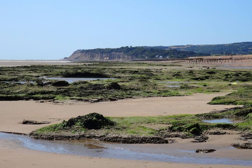
Photo
Where is located Pett Level Beach
Pett Level Beach — local attraction, which is located at 5 Pett Level Rd, Hastings TN35 4EH, United Kingdom and belongs to the category — tourist attraction. Average visitor rating for this place — 4.7 (according to 471 rating, information from open sources and relevant for 2022).
Exact location — Pett Level Beach, marked on the map with a red marker.
You can get directions to Pett Level Beach on the map from your location.
What else is interesting in Hastings? You can see all the sights if you go to the city page.
Coordinates
Pett Level Beach, United Kingdom coordinates in decimal format: latitude — 50.88942432375561, longitude — 0.6871161252967959. When converted to degrees, minutes, seconds Pett Level Beach has the following coordinates: 50°53′21.93 north latitude and 0°41′13.62 east longitude.
Nearby cities
The largest cities that are located nearby:
- Eastbourne — 22 km
- Gillingham — 59 km
- Crawley — 60 km
- Southend-on-Sea — 77 km
- Sutton — 77 km
- Basildon — 80 km
- Chelmsford — 98 km
- Slough — 108 km
- Watford — 111 km
- Portsmouth — 116 km
- Reading — 126 km
- Luton — 132 km
- Southampton — 138 km
- Ipswich — 139 km
- Cambridge — 152 km
- Le Havre
 (France) — 154 km
 - Oxford — 160 km
- Rouen (France) — 161 km
- Amiens (France) — 162 km
Distance to the capital
Distance to the capital (London) is about — 89 km.