

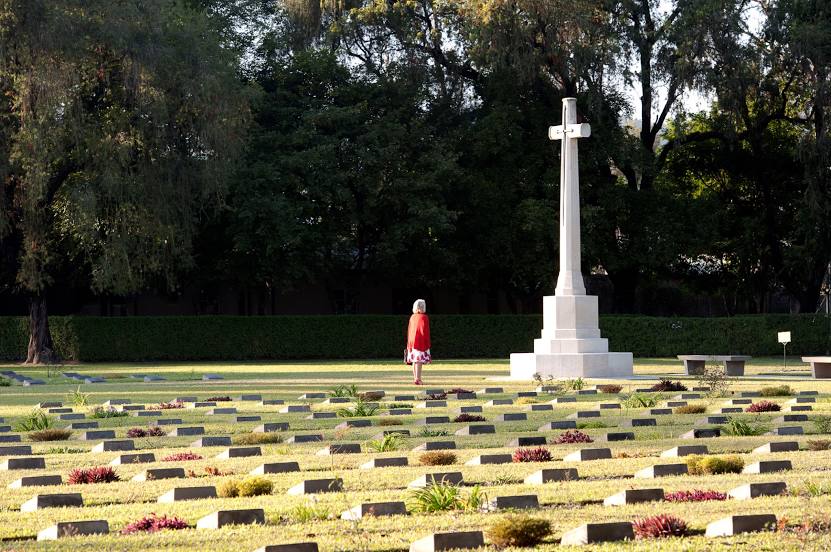
War Cemetry on the map, Imphal, India
Photo
Where is located War Cemetry
War Cemetry — local attraction, which is located at RWFW+M8C, Kabo Leikai, Imphal, Manipur 795001, India and belongs to the category — cemetery. Average visitor rating for this place — 4.3 (according to 29 ratings, information from open sources and relevant for 2022).
Exact location — War Cemetry, marked on the map with a red marker.
You can get directions to War Cemetry on the map from your location.
What else is interesting in Imphal? You can see all the sights if you go to the city page.
Coordinates
War Cemetry, India coordinates in decimal format: latitude — 24.82248286474946, longitude — 93.94615007455148. When converted to degrees, minutes, seconds War Cemetry has the following coordinates: 24°49′20.94 north latitude and 93°56′46.14 east longitude.
Nearby cities
The largest cities that are located nearby:
- Dimapur — 124 km
- Aizawl — 172 km
- Sylhet
 (Bangladesh) — 208 km
 - Shillong — 221 km
- Guwahati — 263 km
- Agartala — 289 km
- Dibrugarh — 309 km
- Bhairab Bazar (Bangladesh) — 310 km
- Comilla (Bangladesh) — 316 km
- Narsingdi (Bangladesh) — 340 km
- Chittagong (Bangladesh) — 348 km
- Mymensingh (Bangladesh) — 355 km
- Narayanganj (Bangladesh) — 373 km
- Dhaka (Bangladesh) — 373 km
- Mandalay
 (Republic of the Union of Myanmar) — 384 km
 - Jamalpur (Bangladesh) — 400 km
- Pyin Oo Lwin (Myanmar (Burma)) — 402 km
- Tangail (Bangladesh) — 411 km
- Nagarpur (Bangladesh) — 418 km
Distance to the capital
Distance to the capital (New Delhi) is about — 1714 km.