 Betteshanger
Lynton
Amesbury
Marlow
Burford
Chipping Norton
Marlborough
Cairnryan
Lydney
Betteshanger
Lynton
Amesbury
Marlow
Burford
Chipping Norton
Marlborough
Cairnryan
Lydney
National Trust - Mompesson House on the map, Salisbury, United Kingdom
Photo
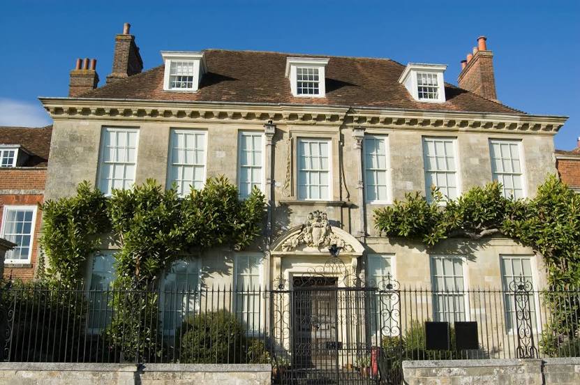
Where is located National Trust - Mompesson House
National Trust - Mompesson House — local attraction, which is located at The Close, Salisbury SP1 2EL, United Kingdom and belongs to the category — $$. Average visitor rating for this place — 4.5 (according to 355 ratings, information from open sources and relevant for 2022).
Exact location — National Trust - Mompesson House, marked on the map with a red marker.
You can get directions to National Trust - Mompesson House on the map from your location.
What else is interesting in Salisbury? You can see all the sights if you go to the city page.
Coordinates
National Trust - Mompesson House, United Kingdom coordinates in decimal format: latitude — 51.066727639854314, longitude — -1.798537374696741. When converted to degrees, minutes, seconds National Trust - Mompesson House has the following coordinates: 51°4′0.22 north latitude and -1°47′54.73 east longitude.
Nearby cities
The largest cities that are located nearby:
- Southampton — 32 km
- Bournemouth — 39 km
- Swindon — 54 km
- Portsmouth — 57 km
- Bristol — 69 km
- Reading — 71 km
- Oxford — 84 km
- Cheltenham — 94 km
- Slough — 96 km
- Crawley — 112 km
- Sutton — 115 km
- Watford — 116 km
- Worcester — 128 km
- Exeter — 128 km
- Luton — 130 km
- Northampton — 143 km
- Coventry — 149 km
- Eastbourne — 150 km
- Birmingham — 157 km
Distance to the capital
Distance to the capital (London) is about — 126 km.