

Fatehpur Sikri Fort on the map, Fatehpur Sikri, India
Photo
Where is located Fatehpur Sikri Fort
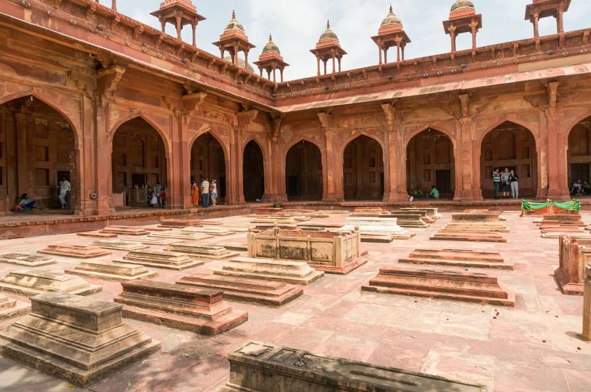
Fatehpur Sikri Fort — local attraction, which is located at Buland Gate, Dadupura, Fatehpur Sikri, Uttar Pradesh 283110, India and belongs to the category — fortress. Average visitor rating for this place — 4.4 (according to 26999 ratings, information from open sources and relevant for 2022).
Exact location — Fatehpur Sikri Fort, marked on the map with a red marker.
You can get directions to Fatehpur Sikri Fort on the map from your location.
What else is interesting in Fatehpur Sikri? You can see all the sights if you go to the city page.
Coordinates
Fatehpur Sikri Fort, India coordinates in decimal format: latitude — 27.094088863445915, longitude — 77.67302636257185. When converted to degrees, minutes, seconds Fatehpur Sikri Fort has the following coordinates: 27°5′38.72 north latitude and 77°40′22.89 east longitude.
Nearby cities
The largest cities that are located nearby:
- Bharatpur — 22 km
- Agra — 35 km
- Mathura — 44 km
- Firozabad — 72 km
- Morena — 73 km
- Gwalior — 110 km
- Alwar — 113 km
- Faridabad — 149 km
- Rewari — 158 km
- Noida — 162 km
- Gurgaon — 163 km
- Ghaziabad — 175 km
- North West Delhi — 185 km
- Delhi — 186 km
- Jaipur — 186 km
- Jhansi — 203 km
- Meerut — 209 km
- Moradabad — 220 km
- Bareilly — 222 km
Distance to the capital
Distance to the capital (New Delhi) is about — 175 km.