 Betteshanger
Lynton
Amesbury
Marlow
Burford
Chipping Norton
Marlborough
Cairnryan
Lydney
Betteshanger
Lynton
Amesbury
Marlow
Burford
Chipping Norton
Marlborough
Cairnryan
Lydney
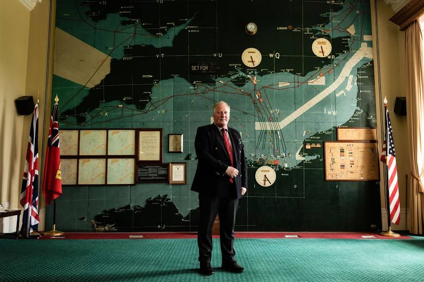
The D-Day Story on the map, Portsmouth, United Kingdom
Photo
Where is located The D-Day Story
The D-Day Story — local attraction, which is located at Clarence Esplanade, Southsea, Portsmouth PO5 3NT, United Kingdom and belongs to the category — museum. Average visitor rating for this place — 4.6 (according to 1280 ratings, information from open sources and relevant for 2022).
Exact location — The D-Day Story, marked on the map with a red marker.
You can get directions to The D-Day Story on the map from your location.
What else is interesting in Portsmouth? You can see all the sights if you go to the city page.
Coordinates
The D-Day Story, United Kingdom coordinates in decimal format: latitude — 50.77961045199586, longitude — -1.0894763747072314. When converted to degrees, minutes, seconds The D-Day Story has the following coordinates: 50°46′46.6 north latitude and -1°5′22.11 east longitude.
Nearby cities
The largest cities that are located nearby:
- Southampton — 24 km
- Bournemouth — 57 km
- Crawley — 70 km
- Reading — 71 km
- Slough — 84 km
- Sutton — 86 km
- Swindon — 94 km
- Eastbourne — 97 km
- Oxford — 104 km
- Watford — 104 km
- Bristol — 125 km
- Luton — 126 km
- Gillingham — 129 km
- Basildon — 137 km
- Cheltenham — 137 km
- Chelmsford — 147 km
- Southend-on-Sea — 147 km
- Northampton — 158 km
- Le Havre
 (France) — 170 km
Distance to the capital
Distance to the capital (London) is about — 105 km.