
 Warner Robins
Wantagh
Bethel
Misty Hill Farm
United States
Wakonda Beach (R33) Airport
Wilmington
Poland
Miami International Airport
Warner Robins
Wantagh
Bethel
Misty Hill Farm
United States
Wakonda Beach (R33) Airport
Wilmington
Poland
Miami International Airport
Lake Springfield on the map, Springfield, United States
Photo
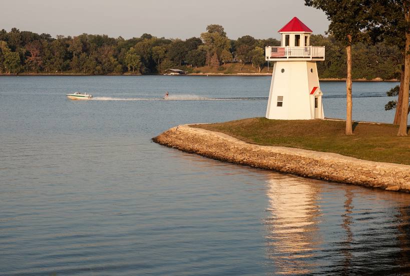
Where is located Lake Springfield
Lake Springfield — local attraction, which is located at 17.24 km² and belongs to the category — -. Average visitor rating for this place — 4.4 (according to 66 ratings, information from open sources and relevant for 2022).
Exact location — Lake Springfield, marked on the map with a red marker.
You can get directions to Lake Springfield on the map from your location.
What else is interesting in Springfield? You can see all the sights if you go to the city page.
Coordinates
Lake Springfield, United States coordinates in decimal format: latitude — 37.21093591415847, longitude — -93.2404595348668. When converted to degrees, minutes, seconds Lake Springfield has the following coordinates: 37°12′39.37 north latitude and -93°14′25.65 east longitude.
Nearby cities
The largest cities that are located nearby:
- Olathe — 227 km
- Overland Park — 229 km
- Independence — 229 km
- Kansas City — 236 km
- North Kansas City — 240 km
- Tulsa — 268 km
- Little Rock — 287 km
- Topeka — 290 km
- Saint Louis — 310 km
- Wichita — 358 km
- Memphis — 371 km
- Oklahoma City — 426 km
- Norman — 434 km
- Des Moines — 486 km
- Lincoln — 490 km
- Peoria — 495 km
- Omaha — 500 km
- Evansville — 506 km
- Shreveport — 520 km
Distance to the capital
Distance to the capital (Washington) is about — 1430 km.