 Betteshanger
Lynton
Amesbury
Marlow
Burford
Chipping Norton
Marlborough
Cairnryan
Lydney
Betteshanger
Lynton
Amesbury
Marlow
Burford
Chipping Norton
Marlborough
Cairnryan
Lydney
Sky-High Skydiving on the map, Peterlee, United Kingdom
Photo
Where is located Sky-High Skydiving
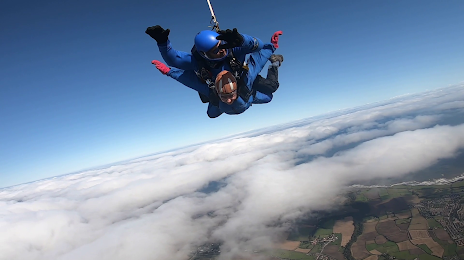
Sky-High Skydiving — local attraction, which is located at The Airfield, Shotton, Shotton Colliery, Durham DH6 2NH, United Kingdom and belongs to the category — skydiving center. Average visitor rating for this place — 4.9 (according to 340 ratings, information from open sources and relevant for 2022).
Exact location — Sky-High Skydiving, marked on the map with a red marker.
You can get directions to Sky-High Skydiving on the map from your location.
What else is interesting in Peterlee? You can see all the sights if you go to the city page.
Coordinates
Sky-High Skydiving, United Kingdom coordinates in decimal format: latitude — 54.764681525981985, longitude — -1.3878065745581762. When converted to degrees, minutes, seconds Sky-High Skydiving has the following coordinates: 54°45′52.85 north latitude and -1°23′16.1 east longitude.
Nearby cities
The largest cities that are located nearby:
- Sunderland — 16 km
- Huddersfield — 127 km
- Blackburn — 135 km
- Preston — 142 km
- Rotherham — 147 km
- Sheffield — 153 km
- Manchester — 154 km
- Edinburgh — 175 km
- Liverpool — 186 km
- Stoke-on-Trent — 203 km
- Glasgow — 218 km
- Leicester — 235 km
- Telford — 242 km
- Sutton Coldfield — 245 km
- West Bromwich — 252 km
- Dudley — 254 km
- Birmingham — 254 km
- Coventry — 261 km
- Northampton — 280 km
Distance to the capital
Distance to the capital (London) is about — 372 km.