 Betteshanger
Lynton
Amesbury
Marlow
Burford
Chipping Norton
Marlborough
Cairnryan
Lydney
Betteshanger
Lynton
Amesbury
Marlow
Burford
Chipping Norton
Marlborough
Cairnryan
Lydney
Mynydd y Cwm on the map, Prestatyn, United Kingdom
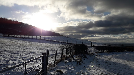
Photo
Where is located Mynydd y Cwm
Mynydd y Cwm — local attraction, which is located at 305 m and belongs to the category — -. Average visitor rating for this place — 5.0 (according to 2 ratings, information from open sources and relevant for 2022).
Exact location — Mynydd y Cwm, marked on the map with a red marker.
You can get directions to Mynydd y Cwm on the map from your location.
What else is interesting in Prestatyn? You can see all the sights if you go to the city page.
Coordinates
Mynydd y Cwm, United Kingdom coordinates in decimal format: latitude — 53.30868096767416, longitude — -3.412504477557736. When converted to degrees, minutes, seconds Mynydd y Cwm has the following coordinates: 53°18′31.25 north latitude and -3°24′45.02 east longitude.
Nearby cities
The largest cities that are located nearby:
- Liverpool — 29 km
- Preston — 66 km
- Blackburn — 75 km
- Manchester — 78 km
- Stoke-on-Trent — 90 km
- Telford — 97 km
- Huddersfield — 112 km
- Dudley — 128 km
- Sheffield — 128 km
- West Bromwich — 131 km
- Rotherham — 135 km
- Sutton Coldfield — 136 km
- Birmingham — 139 km
- Worcester — 150 km
- Coventry — 164 km
- Leicester — 171 km
- Cheltenham — 183 km
- Dublin
 (Ireland) — 188 km
 - Northampton — 208 km
Distance to the capital
Distance to the capital (London) is about — 300 km.