 Betteshanger
Lynton
Amesbury
Marlow
Burford
Chipping Norton
Marlborough
Cairnryan
Lydney
Betteshanger
Lynton
Amesbury
Marlow
Burford
Chipping Norton
Marlborough
Cairnryan
Lydney
West Midland Safari Park on the map, Stourport-on-Severn, United Kingdom
Photo
Where is located West Midland Safari Park
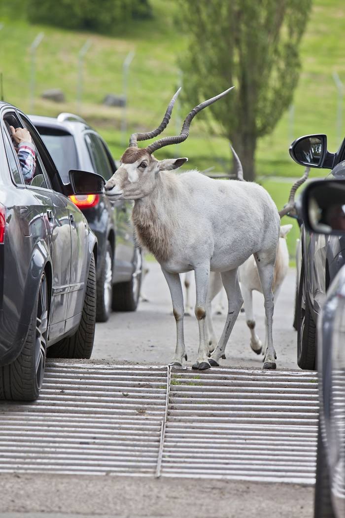
West Midland Safari Park — local attraction, which is located at Spring Grove, Bewdley DY12 1LF, United Kingdom and belongs to the category — safari park. Average visitor rating for this place — 4.5 (according to 15448 ratings, information from open sources and relevant for 2022).
Exact location — West Midland Safari Park, marked on the map with a red marker.
You can get directions to West Midland Safari Park on the map from your location.
What else is interesting in Stourport-on-Severn? You can see all the sights if you go to the city page.
Coordinates
West Midland Safari Park, United Kingdom coordinates in decimal format: latitude — 52.37792970740219, longitude — -2.286633974648398. When converted to degrees, minutes, seconds West Midland Safari Park has the following coordinates: 52°22′40.55 north latitude and -2°17′11.88 east longitude.
Nearby cities
The largest cities that are located nearby:
- Worcester — 17 km
- Dudley — 23 km
- West Bromwich — 27 km
- Birmingham — 31 km
- Telford — 39 km
- Sutton Coldfield — 40 km
- Cheltenham — 51 km
- Coventry — 52 km
- Stoke-on-Trent — 73 km
- Leicester — 83 km
- Swindon — 93 km
- Northampton — 94 km
- Oxford — 96 km
- Bristol — 100 km
- Manchester — 126 km
- Sheffield — 127 km
- Liverpool — 127 km
- Reading — 133 km
- Rotherham — 135 km
Distance to the capital
Distance to the capital (London) is about — 177 km.