 Betteshanger
Lynton
Amesbury
Marlow
Burford
Chipping Norton
Marlborough
Cairnryan
Lydney
Betteshanger
Lynton
Amesbury
Marlow
Burford
Chipping Norton
Marlborough
Cairnryan
Lydney
National Trust - Clumber Park on the map, Worksop, United Kingdom
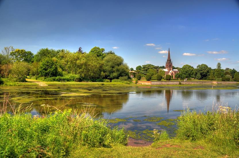
Photo
Where is located National Trust - Clumber Park
National Trust - Clumber Park — local attraction, which is located at Clumber Park, Worksop S80 3AZ, United Kingdom and belongs to the category — $$. Average visitor rating for this place — 4.7 (according to 3976 ratings, information from open sources and relevant for 2022).
Exact location — National Trust - Clumber Park, marked on the map with a red marker.
You can get directions to National Trust - Clumber Park on the map from your location.
What else is interesting in Worksop? You can see all the sights if you go to the city page.
Coordinates
National Trust - Clumber Park, United Kingdom coordinates in decimal format: latitude — 53.26763570491186, longitude — -1.0637539746150682. When converted to degrees, minutes, seconds National Trust - Clumber Park has the following coordinates: 53°16′3.49 north latitude and -1°3′49.51 east longitude.
Nearby cities
The largest cities that are located nearby:
- Rotherham — 21 km
- Sheffield — 24 km
- Huddersfield — 57 km
- Leicester — 74 km
- Manchester — 76 km
- Stoke-on-Trent — 78 km
- Sutton Coldfield — 94 km
- Blackburn — 102 km
- Coventry — 103 km
- Birmingham — 105 km
- West Bromwich — 105 km
- Dudley — 109 km
- Telford — 113 km
- Preston — 115 km
- Northampton — 119 km
- Liverpool — 124 km
- Worcester — 144 km
- Cambridge — 148 km
- Luton — 165 km
Distance to the capital
Distance to the capital (London) is about — 206 km.