 Herbertstown
Dromagh
Roughgrove
Millstreet
County Dublin
Athy
Sallins
Ballybunnion
Fethard
Herbertstown
Dromagh
Roughgrove
Millstreet
County Dublin
Athy
Sallins
Ballybunnion
Fethard
Scragh Bog Trail Head on the map, Mullingar, Ireland
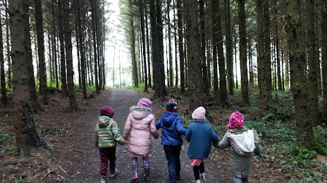
Photo
Where is located Scragh Bog Trail Head
Scragh Bog Trail Head — local attraction, which is located at Unnamed Road, Co. Westmeath, Ireland and belongs to the category — hiking area. Average visitor rating for this place — 4.6 (according to 45 ratings, information from open sources and relevant for 2022).
Exact location — Scragh Bog Trail Head, marked on the map with a red marker.
You can get directions to Scragh Bog Trail Head on the map from your location.
What else is interesting in Mullingar? You can see all the sights if you go to the city page.
Coordinates
Scragh Bog Trail Head, Ireland coordinates in decimal format: latitude — 53.57183631081623, longitude — -7.349785374603604. When converted to degrees, minutes, seconds Scragh Bog Trail Head has the following coordinates: 53°34′18.61 north latitude and -7°20′59.23 east longitude.
Nearby cities
The largest cities that are located nearby:
- Belfast
 (United Kingdom) — 149 km
 - Cork — 196 km
- Liverpool (United Kingdom) — 287 km
- Preston (United Kingdom) — 304 km
- Blackburn (United Kingdom) — 318 km
- Glasgow (United Kingdom) — 322 km
- Manchester (United Kingdom) — 335 km
- Telford (United Kingdom) — 341 km
- Stoke-on-Trent (United Kingdom) — 348 km
- Huddersfield (United Kingdom) — 364 km
- Dudley (United Kingdom) — 371 km
- Edinburgh (United Kingdom) — 372 km
- West Bromwich (United Kingdom) — 376 km
- Worcester (Great Britain) — 377 km
- Birmingham (United Kingdom) — 384 km
- Sutton Coldfield (United Kingdom) — 385 km
- Sheffield (United Kingdom) — 387 km
- Rotherham (United Kingdom) — 394 km
- Bristol (Great Britain) — 399 km
Distance to the capital
Distance to the capital (Dublin) is about — 76 km.