
 Rotondi
San Secondo di Pinerolo
Casale Sul Sile
Rometta
Fino Mornasco
Cefalù
Fontanafredda
Schio
Grumello del Monte
Nichelino
Crespellano
Livigno
Ribera
Mazzo di Valtellina
Avio
Lago
Leini
Rotonda
Asolo
Rotondi
San Secondo di Pinerolo
Casale Sul Sile
Rometta
Fino Mornasco
Cefalù
Fontanafredda
Schio
Grumello del Monte
Nichelino
Crespellano
Livigno
Ribera
Mazzo di Valtellina
Avio
Lago
Leini
Rotonda
Asolo
Città di Castello on the map, Italy
Where is located Città di Castello
Exact location — Città di Castello, Perugia, Umbria, Italy, marked on the map with a red marker.
Coordinates
Città di Castello, Italy coordinates in decimal format: latitude — 43.4639783, longitude — 12.2404869. When converted to degrees, minutes, seconds Città di Castello has the following coordinates: 43°27′50.32 north latitude and 12°14′25.75 east longitude.
Population
Città di Castello, Perugia, Umbria, Italy, according to our data the population is — 39,959 residents, which is about 0.1% of the total population of the country (Italy).
Comparison of the population on the graph:
Exact time
Time zone for this location Città di Castello — UTC +2 Europe/Rome. Exact time — wednesday, 6 june 2024 year, 10 h. 40 minutes.
Sunrise and sunset
Città di Castello, sunrise and sunset data for a date — wednesday 12.06.2024.
| Sunrise | Sunset | Day (duration) |
|---|---|---|
| 05:33 -0 minutes | 20:48 -0 minutes | 15 h. 18 minutes. -0 minutes |
You can control the scale of the map using the auxiliary tools to find out exactly where it is located Città di Castello. When you change the scale of the map, the width of the ruler also changes (in kilometers and miles).
Nearby cities
The largest cities that are located nearby:
- Perugia — 41 km
- Rimini — 72 km
- Forli — 85 km
- Florence — 86 km
- Prato — 102 km
- Ancona — 104 km
- Terni — 105 km
- Ravenna — 106 km
- Bologna — 134 km
- Livorno — 155 km
- Ferrara — 160 km
- Modena — 167 km
- Pescara — 196 km
- Parma — 211 km
- Venice — 219 km
- Latina — 227 km
- Vicenza — 237 km
- Verona — 239 km
- Rijeka
 (Croatia) — 268 km
Distance to neighboring capitals:
- Ljubljana
 (Slovenia) — 339 km
 - Zagreb (Croatia) — 395 km
- Vaduz
 (Liechtenstein) — 461 km
 - Bern
 (Switzerland) — 540 km
 - Vienna
 (Austria) — 617 km
 - Paris
 (France) — 968 km
 - Paris (France) — 968 km
- Berlin
 (Germany) — 1011 km
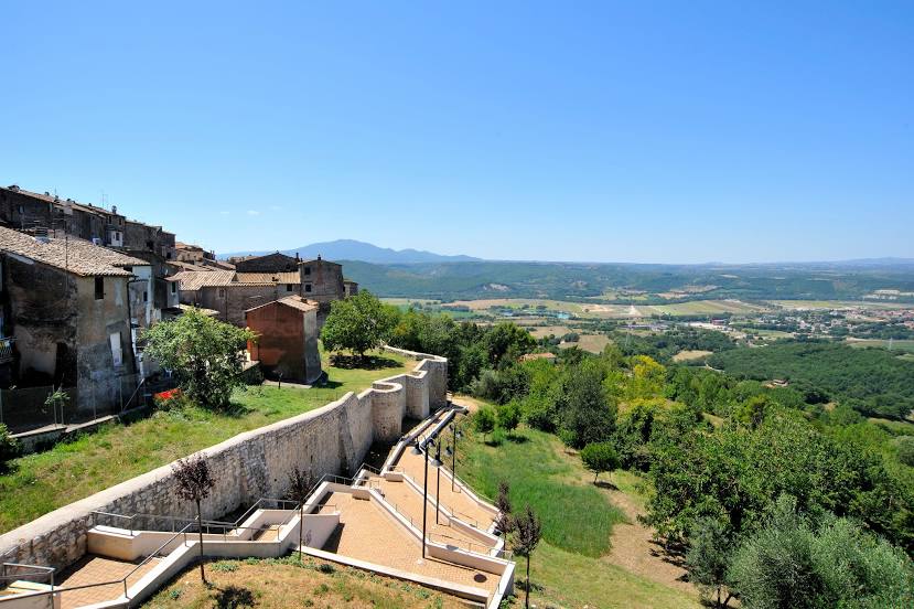
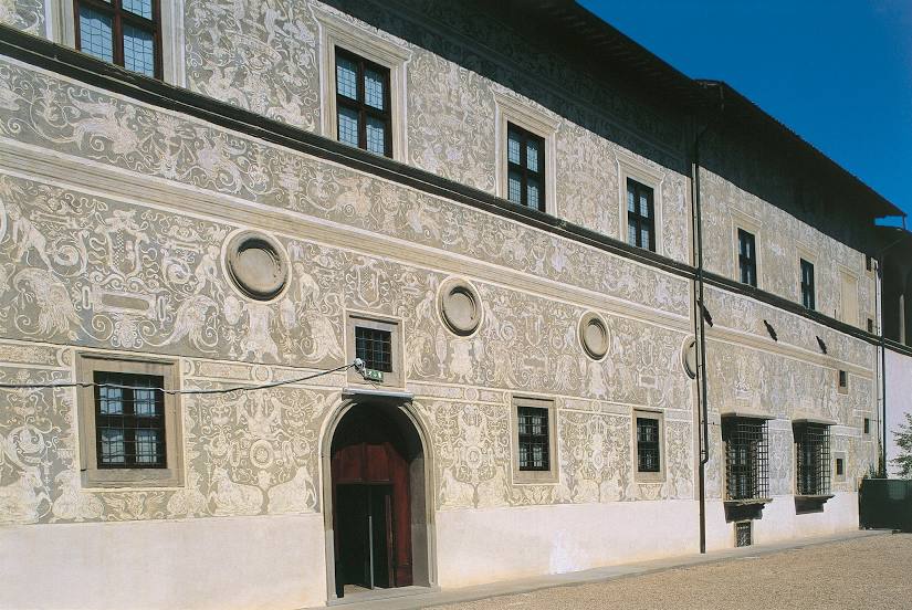
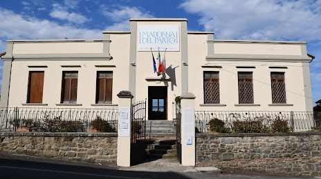
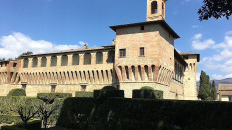
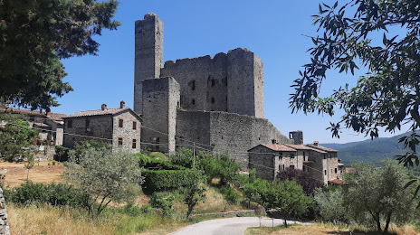
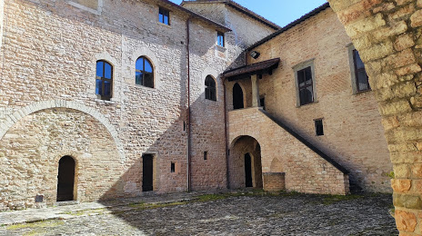
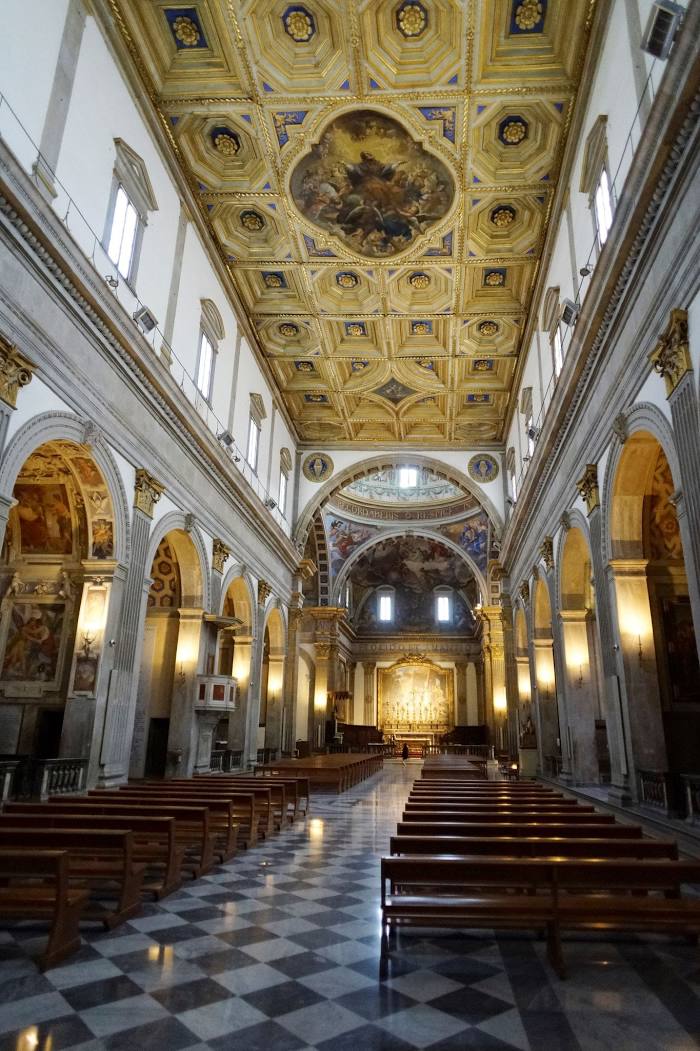
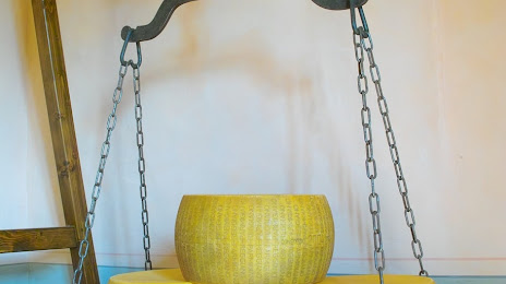
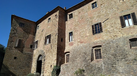
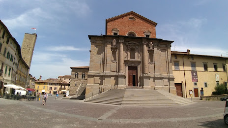
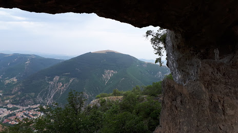
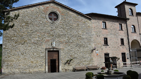
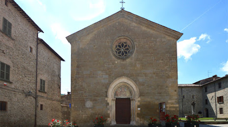
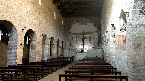
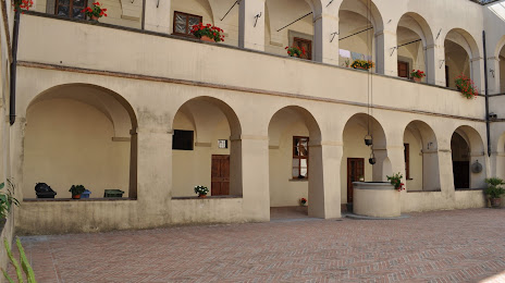
Attractions


Distance to the capital
Distance to the capital (Rome) is about — 175 km.