
 Puerto de la Duquesa
La Serna de Iguña
Pumalverde
Puentenansa
La Iglesia
Casar de Periedo
Fuengirola
Renedo de Piélagos
Villabanez
Puerto de la Duquesa
La Serna de Iguña
Pumalverde
Puentenansa
La Iglesia
Casar de Periedo
Fuengirola
Renedo de Piélagos
Villabanez
Playa de Levante on the map, Benidorm, Spain
Photo
Where is located Playa de Levante
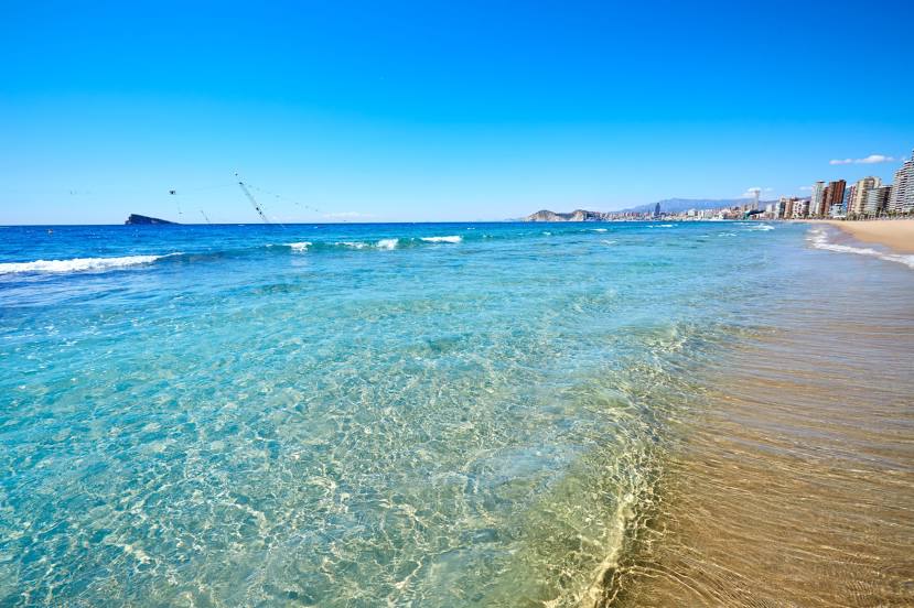
Playa de Levante — local attraction, which is located at no data and belongs to the category — -. Average visitor rating for this place — 4.5 (according to 5402 ratings, information from open sources and relevant for 2022).
Exact location — Playa de Levante, marked on the map with a red marker.
You can get directions to Playa de Levante on the map from your location.
What else is interesting in Benidorm? You can see all the sights if you go to the city page.
Coordinates
Playa de Levante, Spain coordinates in decimal format: latitude — 38.53380431566013, longitude — -0.11934856868291477. When converted to degrees, minutes, seconds Playa de Levante has the following coordinates: 38°32′1.7 north latitude and -0°7′9.65 east longitude.
Nearby cities
The largest cities that are located nearby:
- Valencia — 105 km
- Murcia — 107 km
- Cartagena — 127 km
- Albacete — 157 km
- Palma — 262 km
- Almería — 280 km
- Chlef
 (Algeria) — 293 km
 - Tarragona — 307 km
- Relizane (Algeria) — 316 km
- Oran (Algeria) — 318 km
- Jaén — 331 km
- Granada — 341 km
- Algiers (Algeria) — 343 km
- Lleida — 346 km
- Alcala de Henares — 347 km
- Zaragoza — 349 km
- Torrejón de Ardoz — 353 km
- Médéa (Algeria) — 359 km
- Getafe — 362 km
Distance to the capital
Distance to the capital (Madrid) is about — 372 km.