
 Puerto de la Duquesa
La Serna de Iguña
Pumalverde
Puentenansa
La Iglesia
Casar de Periedo
Fuengirola
Renedo de Piélagos
Villabanez
Puerto de la Duquesa
La Serna de Iguña
Pumalverde
Puentenansa
La Iglesia
Casar de Periedo
Fuengirola
Renedo de Piélagos
Villabanez
Playa de Ponent on the map, Premià de Mar, Spain
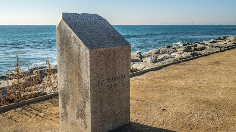
Photo
Where is located Playa de Ponent
Playa de Ponent — local attraction, which is located at no data and belongs to the category — -. Average visitor rating for this place — 3.3 (according to 6 ratings, information from open sources and relevant for 2022).
Exact location — Playa de Ponent, marked on the map with a red marker.
You can get directions to Playa de Ponent on the map from your location.
What else is interesting in Premià de Mar? You can see all the sights if you go to the city page.
Coordinates
Playa de Ponent, Spain coordinates in decimal format: latitude — 41.48687406253394, longitude — 2.35336652497833. When converted to degrees, minutes, seconds Playa de Ponent has the following coordinates: 41°29′12.75 north latitude and 2°21′12.12 east longitude.
Nearby cities
The largest cities that are located nearby:
- Mataró — 9 km
- Badalona — 11 km
- Santa Coloma de Gramenet — 14 km
- Sabadell — 22 km
- L'Hospitalet de Llobregat — 25 km
- Terrassa — 30 km
- Tarragona — 102 km
- Perpignan
 (France) — 139 km
 - Lleida — 144 km
- Palma — 214 km
- Toulouse (France) — 245 km
- Montpellier (France) — 264 km
- Zaragoza — 269 km
- Nimes (France) — 304 km
- Marseille (France) — 314 km
- Valencia — 323 km
- Aix-en-Provence (France) — 335 km
- Toulon (France) — 340 km
- Pamplona — 356 km
Distance to the capital
Distance to the capital (Madrid) is about — 522 km.