
 Samorogouan
Banfora
Sindou
Tenkodogo
Boulgou
Ouargaye
Koupéla
Kaya
Kongoussi
Samorogouan
Banfora
Sindou
Tenkodogo
Boulgou
Ouargaye
Koupéla
Kaya
Kongoussi
Bobo-Dioulasso on the map, Burkina Faso
Where is located Bobo-Dioulasso
Exact location — Bobo-Dioulasso, Houet, Hauts-Bassins, Burkina Faso, marked on the map with a red marker.
Coordinates
Bobo-Dioulasso, Burkina Faso coordinates in decimal format: latitude — 11.183333, longitude — -4.283333. When converted to degrees, minutes, seconds Bobo-Dioulasso has the following coordinates: 11°10′60 north latitude and -4°16′60 east longitude.
Population
Bobo-Dioulasso, Houet, Hauts-Bassins, Burkina Faso, according to our data the population is — 360,106 residents, which is about 1.7% of the total population of the country (Burkina Faso).
Comparison of the population on the graph:
Exact time
Time zone for this location Bobo-Dioulasso — UTC 0 Africa/Ouagadougou. Exact time — tuesday, 4 april 2024 year, 13 h. 32 minutes.
Sunrise and sunset
Bobo-Dioulasso, sunrise and sunset data for a date — tuesday 30.04.2024.
| Sunrise | Sunset | Day (duration) |
|---|---|---|
| 06:01 -0 minutes | 18:27 -0 minutes | 12 h. 24 minutes. -0 minutes |
You can control the scale of the map using the auxiliary tools to find out exactly where it is located Bobo-Dioulasso. When you change the scale of the map, the width of the ruler also changes (in kilometers and miles).
Nearby cities
The largest cities that are located nearby:
- Sikasso
 (Mali) — 151 km
 - Korhogo
 (Ivory Coast) — 239 km
 - Mopti (Mali) — 366 km
- Bouake (Côte d'Ivoire) — 395 km
- Tamale
 (Ghana) — 423 km
 - Bamako (Mali) — 432 km
- Yamoussoukro (Côte d'Ivoire) — 495 km
- Abengourou (Côte d'Ivoire) — 500 km
- Daloa (Côte d'Ivoire) — 532 km
- Man (Côte d'Ivoire) — 551 km
- Kankan Prefecture
 (Guinea) — 554 km
 - Kumasi (Ghana) — 579 km
- Gagnoa (Ivory Coast) — 586 km
- Divo (Côte d'Ivoire) — 602 km
- Obuasi (Ghana) — 620 km
- Kara
 (Togo) — 624 km
 - Nzerekore (Guinea) — 625 km
- Sokode (Togo) — 641 km
- Abidjan (Côte d'Ivoire) — 649 km
Distance to neighboring capitals:
- Bamako (Mali) — 436 km
- Yamoussoukro (Côte d'Ivoire) — 498 km
- Niamey
 (Niger) — 741 km
 - Accra (Ghana) — 771 km
- Lome (Togo) — 826 km
- Monrovia
 (Liberia) — 898 km
 - Conakry (Guinea) — 1031 km
- Abuja
 (Nigeria) — 1310 km
 - Nouakchott
 (Mauritania) — 1472 km
 - Dakar
 (Senegal) — 1472 km
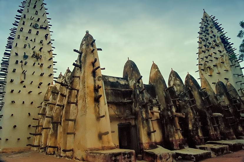
Attractions
Distance to the capital
Distance to the capital (Ouagadougou) is about — 328 km.