Santa Cruz de la Sierra — Alcalá del Júcar
Santa Cruz de la Sierra — Ribadesella
Santa Cruz de la Sierra — Lalueza
Santa Cruz de la Sierra — Santo Domingo
Santa Cruz de la Sierra — Retamal de Llerena
Santa Cruz de la Sierra — Ocio
Santa Cruz de la Sierra — Hinojosa del Valle
Santa Cruz de la Sierra — Tornabous
Santa Cruz de la Sierra — Aín
Santa Cruz de la Sierra — Hecho
Santa Cruz de la Sierra — Trigueros del Valle
Santa Cruz de la Sierra — Arona
Santa Cruz de la Sierra — Miramar
Santa Cruz de la Sierra — Milles de la Polvorosa
Santa Cruz de la Sierra — Campomanes
Santa Cruz de la Sierra — Lantero
Santa Cruz de la Sierra — As Lamas
Santa Cruz de la Sierra — Camuñas
Santa Cruz de la Sierra — Melgar de Fernamental
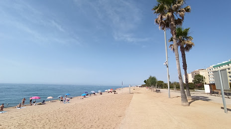
Santa Cruz de la Sierra — Pineda de Mar distance, route on the map
Distance by car
Distance between Santa Cruz de la Sierra, Extremadura, Spain and Pineda de Mar, Catalunya, Spain by car is — km, or miles. To travel this distance by car, you need minute, or h.
Route on the map, driving directions
Car route Santa Cruz de la Sierra — Pineda de Mar was created automatically. The road on the map is shown as a blue line. By moving the markers, you can create a new route through the points you need.
Distance by plane
If you decide to take a trip Santa Cruz de la Sierra Pineda de Mar by plane, then you have to fly the distance — 765 km or 474 miles. It is marked on the map with a gray line (between two points in a straight line).
Flight time
Estimated flight time Santa Cruz de la Sierra Pineda de Mar by plane at cruising speed 750 km / h will be — 1 h. and 1 min.
Direction of movement
Spain, Santa Cruz de la Sierra — right-hand traffic. Spain, Pineda de Mar — right-hand traffic.
Difference in time
Santa Cruz de la Sierra and Pineda de Mar are in the same time zone. Between them there is no time difference (UTC +2 Europe/Madrid).
Interesting Facts
Information on alternative ways to get to your destination.
The length of this distance is about 1.9% of the total length of the equator.
The percentage of the population is clearly shown in the graph:
Santa Cruz de la Sierra — 311 (less by 25,892), Pineda de Mar — 26,203 residents.
The cost of travel
Calculate the cost of the trip yourself using the fuel consumption calculator, changing the data in the table.