
 Pfarrwerfen
Rosenau am Hengstpaß
Grinzens
Sankt Martin am Wöllmißberg
Sankt Martin am Silberberg
Söding
Felixdorf
Oberpullendorf District
Fließ
Pfarrwerfen
Rosenau am Hengstpaß
Grinzens
Sankt Martin am Wöllmißberg
Sankt Martin am Silberberg
Söding
Felixdorf
Oberpullendorf District
Fließ
Ottensteiner Stausee on the map, Zwettl, Austria
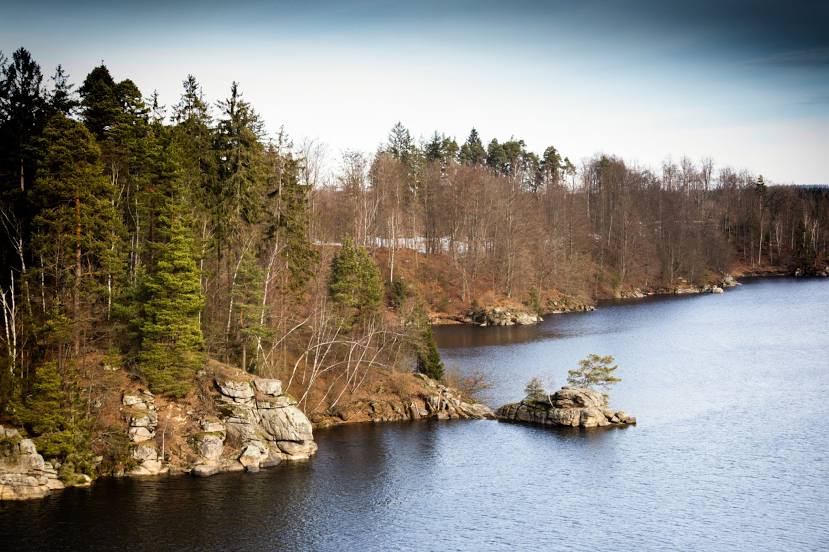
Photo
Where is located Ottensteiner Stausee
Ottensteiner Stausee — local attraction, which is located at 490 m and belongs to the category — -. Average visitor rating for this place — 4.7 (according to 344 ratings, information from open sources and relevant for 2022).
Exact location — Ottensteiner Stausee, marked on the map with a red marker.
You can get directions to Ottensteiner Stausee on the map from your location.
What else is interesting in Zwettl? You can see all the sights if you go to the city page.
Coordinates
Ottensteiner Stausee, Austria coordinates in decimal format: latitude — 48.60117930332801, longitude — 15.267997204125395. When converted to degrees, minutes, seconds Ottensteiner Stausee has the following coordinates: 48°36′4.25 north latitude and 15°16′4.79 east longitude.
Nearby cities
The largest cities that are located nearby:
- Linz — 73 km
- Brno
 (Czech Republic) — 123 km
 - Bratislava
 (Slovakia) — 152 km
 - Prague (Czech Republic) — 171 km
- Graz — 171 km
- Pilsen (Czech Republic) — 179 km
- Salzburg — 180 km
- Olomouc (Czech Republic) — 185 km
- Győr
 (Hungary) — 211 km
 - Regensburg
 (Germany) — 227 km
 - Walbrzych
 (Poland) — 253 km
 - Ostrava (Czech Republic) — 259 km
- Munich (Germany) — 270 km
- Ingolstadt (Germany) — 273 km
- Ljubljana
 (Slovenia) — 286 km
 - Dresden (Germany) — 288 km
- Székesfehérvár (Hungary) — 291 km
- Rybnik (Poland) — 291 km
- Chemnitz (Germany) — 291 km
Distance to the capital
Distance to the capital (Vienna) is about — 93 km.