 Matlock
Humber
Belton
Corse
Great Ellingham
Sampford Peverell
Boughton
Lower Froyle
East Ilsley
Glusburn
New Pitsligo
Otter Ferry
Bucklebury
Scourie
Talsarnau
Abergynolwyn
Llanwrthwl
Llanfair Caereinion
Rhosllanerchrugog
Matlock
Humber
Belton
Corse
Great Ellingham
Sampford Peverell
Boughton
Lower Froyle
East Ilsley
Glusburn
New Pitsligo
Otter Ferry
Bucklebury
Scourie
Talsarnau
Abergynolwyn
Llanwrthwl
Llanfair Caereinion
Rhosllanerchrugog
Slough on the map, United Kingdom
Where is located Slough
Exact location — Slough, England, United Kingdom, marked on the map with a red marker.
Coordinates
Slough, United Kingdom coordinates in decimal format: latitude — 51.5105384, longitude — -0.5950406. When converted to degrees, minutes, seconds Slough has the following coordinates: 51°30′37.94 north latitude and -0°35′42.15 east longitude.
Population
Slough, England, United Kingdom, according to our data the population is — 134,072 residents, which is about 0.2% of the total population of the country (United Kingdom).
Comparison of the population on the graph:
Exact time
Time zone for this location Slough — UTC +1 Europe/London. Exact time — thursday, 5 may 2024 year, 16 h. 28 minutes.
Sunrise and sunset
Slough, sunrise and sunset data for a date — thursday 2.05.2024.
| Sunrise | Sunset | Day (duration) |
|---|---|---|
| 05:35 -1 minute | 20:23 +2 minutes | 14 h. 48 minutes. +3 minutes |
You can control the scale of the map using the auxiliary tools to find out exactly where it is located Slough. When you change the scale of the map, the width of the ruler also changes (in kilometers and miles).
Nearby cities
The largest cities that are located nearby:
- Watford — 21 km
- Reading — 27 km
- Sutton — 32 km
- Luton — 42 km
- Crawley — 53 km
- Oxford — 53 km
- Basildon — 75 km
- Chelmsford — 77 km
- Gillingham — 80 km
- Swindon — 82 km
- Northampton — 83 km
- Portsmouth — 84 km
- Southampton — 87 km
- Southend-on-Sea — 90 km
- Cambridge — 91 km
- Eastbourne — 103 km
- Cheltenham — 110 km
- Coventry — 117 km
- Bournemouth — 126 km
Distance to neighboring capitals:
- Brussels
 (Belgium) — 353 km
 - Paris
 (France) — 362 km
 - Paris (France) — 362 km
- Amsterdam
 (Netherlands) — 388 km
 - Dublin
 (Ireland) — 435 km
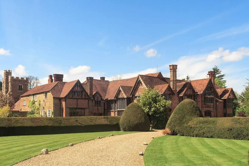
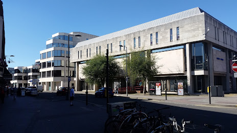
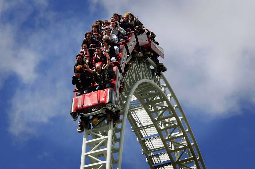
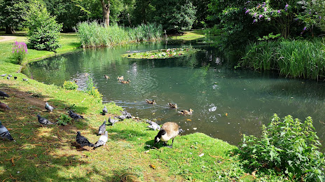
Attractions


Distance to the capital
Distance to the capital (London) is about — 32 km.