 Betteshanger
Lynton
Amesbury
Marlow
Burford
Chipping Norton
Marlborough
Cairnryan
Lydney
Betteshanger
Lynton
Amesbury
Marlow
Burford
Chipping Norton
Marlborough
Cairnryan
Lydney
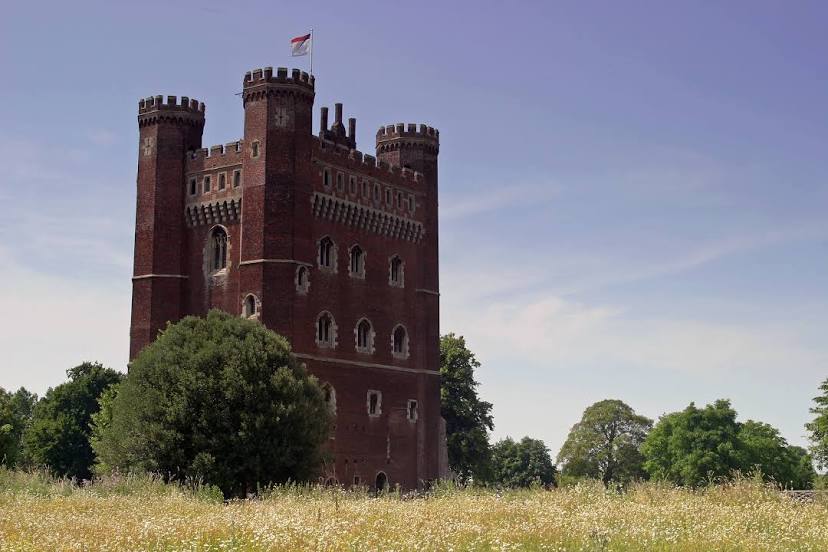
National Trust - Tattershall Castle on the map, Lincoln, United Kingdom
Photo
Where is located National Trust - Tattershall Castle
National Trust - Tattershall Castle — local attraction, which is located at Sleaford Rd, Tattershall, Lincoln LN4 4LR, United Kingdom and belongs to the category — $$. Average visitor rating for this place — 4.5 (according to 1573 ratings, information from open sources and relevant for 2022).
Exact location — National Trust - Tattershall Castle, marked on the map with a red marker.
You can get directions to National Trust - Tattershall Castle on the map from your location.
What else is interesting in Lincoln? You can see all the sights if you go to the city page.
Coordinates
National Trust - Tattershall Castle, United Kingdom coordinates in decimal format: latitude — 53.10131577187548, longitude — -0.1934723747159259. When converted to degrees, minutes, seconds National Trust - Tattershall Castle has the following coordinates: 53°6′4.74 north latitude and -0°11′36.5 east longitude.
Nearby cities
The largest cities that are located nearby:
- Rotherham — 59 km
- Sheffield — 64 km
- Leicester — 77 km
- Huddersfield — 94 km
- Stoke-on-Trent — 112 km
- Northampton — 112 km
- Coventry — 113 km
- Sutton Coldfield — 113 km
- Manchester — 115 km
- Cambridge — 122 km
- Birmingham — 123 km
- West Bromwich — 126 km
- Dudley — 131 km
- Blackburn — 140 km
- Norwich — 140 km
- Telford — 142 km
- Luton — 150 km
- Preston — 153 km
- Worcester — 162 km
Distance to the capital
Distance to the capital (London) is about — 177 km.