 Betteshanger
Lynton
Amesbury
Marlow
Burford
Chipping Norton
Marlborough
Cairnryan
Lydney
Betteshanger
Lynton
Amesbury
Marlow
Burford
Chipping Norton
Marlborough
Cairnryan
Lydney
Seven Bridges Valley on the map, Ripon, United Kingdom
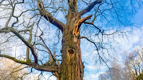
Photo
Where is located Seven Bridges Valley
Seven Bridges Valley — local attraction, which is located at Ripon HG4 3DY, United Kingdom and belongs to the category — park. Average visitor rating for this place — 5.0 (according to 3 ratings, information from open sources and relevant for 2022).
Exact location — Seven Bridges Valley, marked on the map with a red marker.
You can get directions to Seven Bridges Valley on the map from your location.
What else is interesting in Ripon? You can see all the sights if you go to the city page.
Coordinates
Seven Bridges Valley, United Kingdom coordinates in decimal format: latitude — 54.116890937507584, longitude — -1.5650822746775181. When converted to degrees, minutes, seconds Seven Bridges Valley has the following coordinates: 54°7′0.81 north latitude and -1°33′54.3 east longitude.
Nearby cities
The largest cities that are located nearby:
- Huddersfield — 57 km
- Blackburn — 76 km
- Rotherham — 78 km
- Sheffield — 84 km
- Sunderland — 86 km
- Manchester — 87 km
- Preston — 87 km
- Liverpool — 126 km
- Stoke-on-Trent — 133 km
- Leicester — 168 km
- Telford — 173 km
- Sutton Coldfield — 174 km
- West Bromwich — 182 km
- Dudley — 183 km
- Birmingham — 184 km
- Coventry — 191 km
- Northampton — 214 km
- Worcester — 220 km
- Edinburgh — 226 km
Distance to the capital
Distance to the capital (London) is about — 306 km.